
OS grid reference SO407197 Country Wales Postcode district NP7 Local time Saturday 9:17 PM | Sovereign state United Kingdom Dialling code 01873 | |
 | ||
Weather 6°C, Wind W at 19 km/h, 83% Humidity | ||
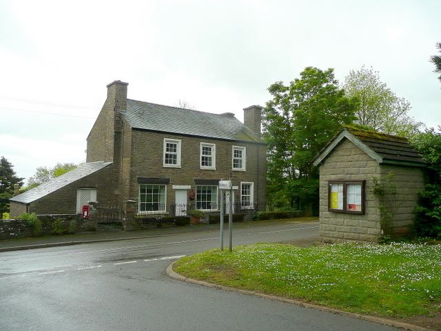
Cross Ash (Welsh: Croes Onnen) is a village in Monmouthshire, south east Wales. It is located on the B4521 road between Abergavenny and Skenfrith, some six miles north east of Abergavenny.
Contents
Map of Cross Ash, Abergavenny, UK
Setting
Cross Ash is situated in a rural part of north-east Monmouthshire. The village is located on the southern foothills of Graig Syfyrddin, where several country lanes converge on the B4521 road. It is virtually equidistant between the "three castles of Gwent", White Castle, Skenfrith Castle and Grosmont Castle.
History and amenities
Cross Ash has a primary school which serves an expansive rural area. Next door to the school is a village hall which serves as the venue for the annual Cross Ash Show and Fun Day. There was formerly a post office and petrol station in the village however both are now closed.
In 2004 the local council added a Welsh translation of the village's name, Croes Onnen, to the road signs for Cross Ash without consultation. This was despite the fact that the village had never been known by the name 'Croes Onnen' and the name had never been in use by either Welsh or English speakers. Local residents successfully campaigned to have the erroneous Welsh translation removed from the local road signs in 2011.