
Time zone CST (UTC-6) Area 95.39 km² Population 471 (2010) | Established November 2, 1858 Elevation 217 m Local time Wednesday 12:00 AM | |
 | ||
ZIP codes 61727, 61735, 61750, 61882 Weather 6°C, Wind SW at 24 km/h, 50% Humidity | ||
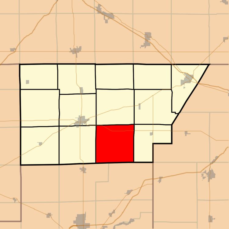
Creek Township is one of thirteen townships in DeWitt County, Illinois, USA. As of the 2010 census, its population was 471 and it contained 206 housing units. The township contains the east half of Weldon Springs State Park.
Contents
- Map of Creek Township IL USA
- Geography
- Unincorporated towns
- Cemeteries
- Airports and landing strips
- School districts
- Political districts
- References
Map of Creek Township, IL, USA
Geography
According to the 2010 census, the township has a total area of 36.83 square miles (95.4 km2), of which 35.41 square miles (91.7 km2) (or 96.14%) is land and 1.42 square miles (3.7 km2) (or 3.86%) is water.
Unincorporated towns
Cemeteries
The township contains these two cemeteries: Lisenby and Rose.
Airports and landing strips
School districts
Political districts
References
Creek Township, DeWitt County, Illinois Wikipedia(Text) CC BY-SA