
Country United States ZIP codes 42033 Elevation 195 m Local time Tuesday 9:02 PM | Time zone Central (CST) (UTC-6) FIPS code 21-18190 Area 2.9 km² Population 173 (2010) | |
 | ||
Weather 6°C, Wind SE at 0 km/h, 70% Humidity | ||
Crayne is a census-designated place and unincorporated community within Crittenden County, Kentucky, United States. As of the 2010 census it had a population of 173.
Contents
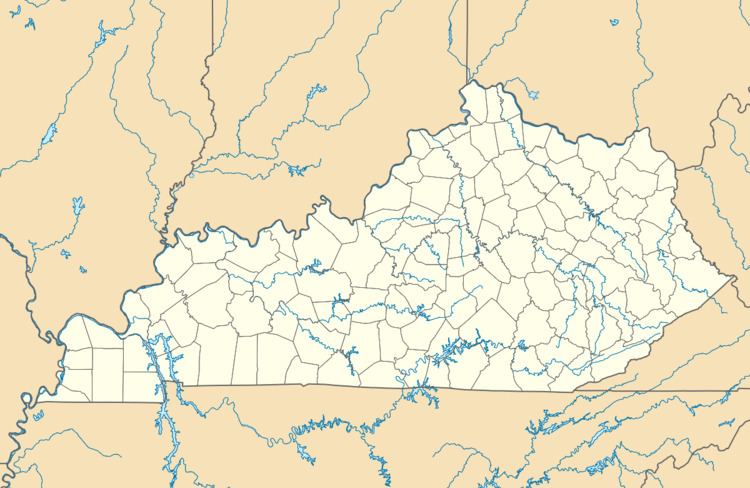
Map of Crayne, KY 42064, USA
Geography
Crayne is located in southern Crittenden County along U.S. Route 641, which leads north 4 miles (6 km) to Marion, the county seat, and south 5 miles (8 km) to Fredonia.
References
Crayne, Kentucky Wikipedia(Text) CC BY-SA