
OS grid reference TQ213225 Sovereign state United Kingdom Dialling code 01403 | Civil parish Cowfold Area 19.26 km² UK parliament constituency Horsham | |
 | ||
Population 1,864 2001 Census1,904 (2011 Census) | ||
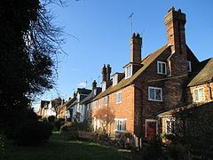
Cowfold is a village and civil parish between Billingshurst and Haywards Heath in the Horsham District of West Sussex, England, located at the intersection of the A272 and A281 roads. The parish has a land area of 1926 hectares (4756 acres). In the 2001 census 1,864 people lived in 729 households, of whom 987 were economically active. The population at the 2011 Census had risen to 1,904
Contents
Map of Cowfold, Horsham, UK
Until recently the village had two pubs and some shops. However, the long established 'Coach House' closed in 2014, and now the village only has the traditional Sussex pub, the 'Hare and Hounds'. The thirteenth century Anglican parish church is dedicated to Saint Peter. At Parkminster, formerly Picknoll Farm, is St. Hugh's Charterhouse, Parkminster, the only post-Reformation Carthusian monastery in the United Kingdom. An Éolienne Bollée there has been restored.
Sport
Cowfold F.C. participate in the West Sussex Premier League, in tier 11 of the English football league system.