
- elevation 1,483 ft (452 m) - average 1,230 cu ft/s (35 m/s) | - elevation 452 ft (138 m) Basin area 2,226 km² | |
 | ||
- location Hutchinson, Kansas, United States | ||
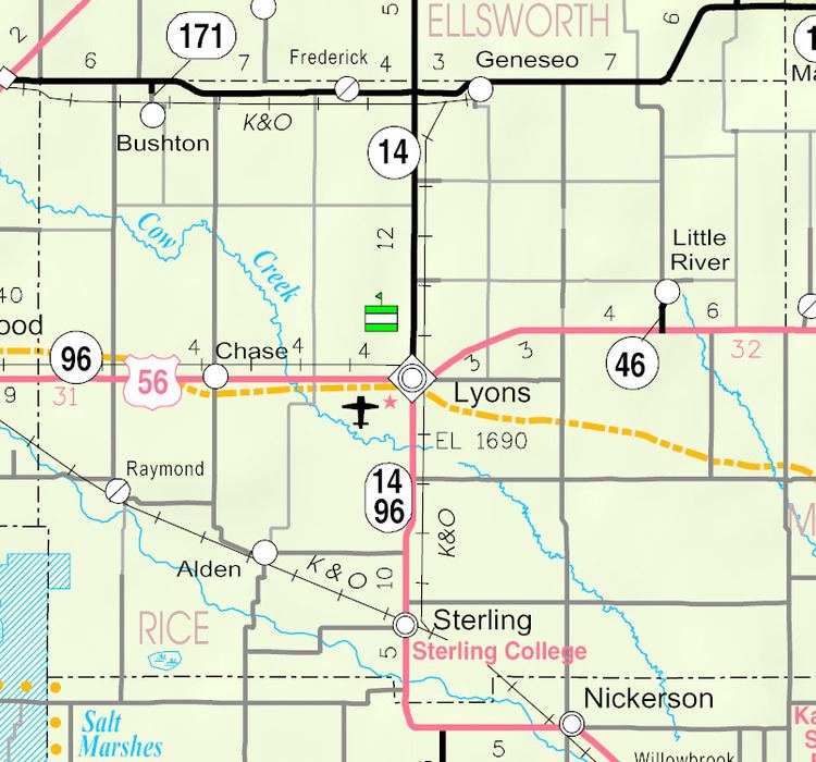
Cow Creek is a 112-mile-long (180 km) stream that flows through Rice and Reno Counties, Kansas. Cow Creek is a tributary of the Arkansas River; its confluence with the Arkansas is about ten miles southeast of Hutchinson, Kansas.
Map of Cow Creek, Yoder, KS, USA
In the 1850s, Buffalo Bill Mathewson ran a trading post (known as "Buffalo Bill's Well") where the Santa Fe Trail crossed Cow Creek. From Lyons, Kansas, the well is located four miles west and one mile south.
References
Cow Creek (Kansas) Wikipedia(Text) CC BY-SA