
Local time Tuesday 2:38 PM | ||
 | ||
Weather 30°C, Wind NE at 24 km/h, 24% Humidity Civil parish Santa Catarina do Fogo, Cape Verde | ||
Cova figueira n s cantinho
Cova Figueira is a city in the southeastern part of the island of Fogo, Cape Verde. It is situated 22 km east of the island capital São Filipe. Since 2005, it serves as the seat of Santa Catarina do Fogo Municipality. Its elevation is 480 meters above sea level. The volcano Pico do Fogo is 7.7 km to the northwest.
Contents
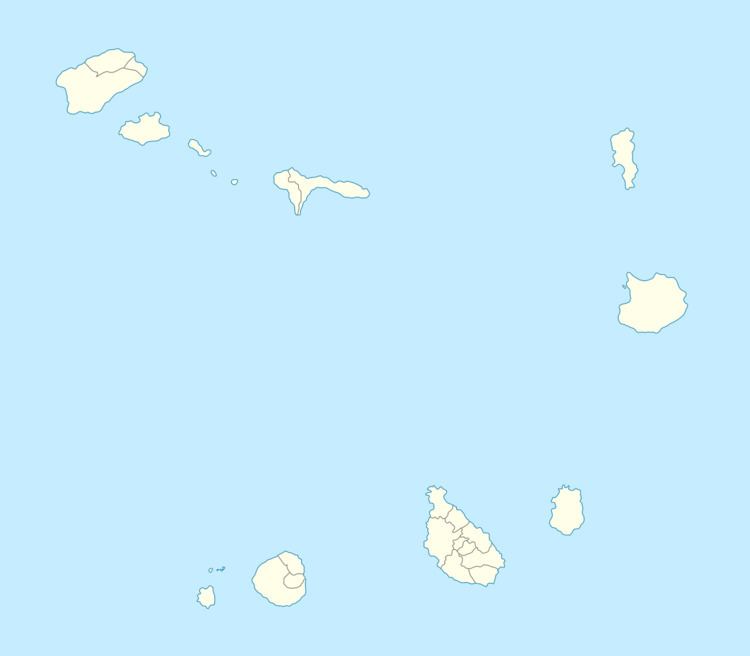
Map of Cova Figueira, Cape Verde
Once a town, the town was elevated to a city in 2010, the most recent in Cape Verde
Its climate is arid. Average temperature is 27 °C. The highest temperature is in the month of July with29 °C and the lowest is in March with 26 °C. Average rainfall is 245 mm, the highest is in September with 114 mm and the lowest is in April with a millimeter.
Sport club
References
Cova Figueira Wikipedia(Text) CC BY-SA