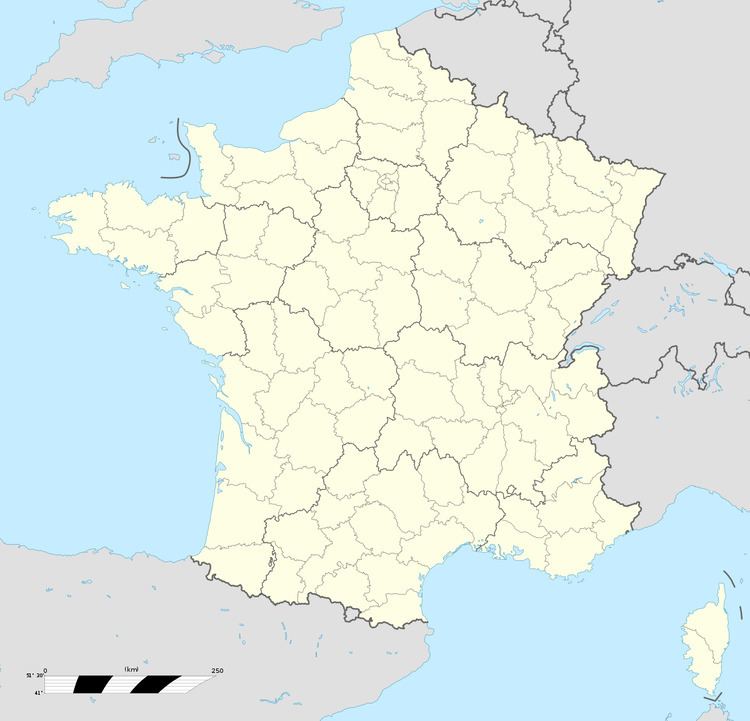
Population (2004) 10,682 Local time Tuesday 2:20 PM | Canton Courrières Area 8.63 km² | |
 | ||
Weather 11°C, Wind W at 16 km/h, 61% Humidity | ||
Courrières is a commune in the Pas-de-Calais department in the Hauts-de-France region of France.
Contents
- Map of CourriC3A8res France
- Geography
- Nearest communes
- History
- Notable people
- Places of interest
- Twin towns Sister cities
- References
Map of Courri%C3%A8res, France
Geography
An ex-coalmining commune, now a light industrial and farming town, situated some 7 miles (11.3 km) northeast of Lens, at the junction of the D46 and D919 roads and next to the A1 autoroute. The Lens canal and the canalized Deule river forms threequarters of the borders of the commune.
Nearest communes
History
The history of the area remains marked by the Courrières mine disaster which resulted in 1,099 deaths on 10 March 1906. All the regions' coalmines were closed by 1970.
Notable people
Places of interest
Twin towns — Sister cities
Courrières is twinned with:
References
Courrières Wikipedia(Text) CC BY-SA
