
Heytesbury Polwarth | ||
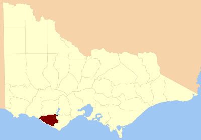 | ||
The County of Heytesbury is one of the 37 counties of Victoria which are part of the cadastral divisions of Australia, used for land titles. The County is in the Western District of Victoria bounded by the Gellibrand River in the east and the Hopkins River in the west. In the north the County was bounded approximately by the existing road, now the Princes Highway. Larger towns include Camperdown and Cobden. The County was proclaimed in 1849.
Parishes
Parishes within the county:
References
County of Heytesbury Wikipedia(Text) CC BY-SA