
Country United States FIPS code 16-18820 Elevation 892 m Population 805 (2013) Area code 208 | Time zone Mountain (MST) (UTC-7) GNIS feature ID 0396336 Zip code 83612 Local time Tuesday 12:23 AM | |
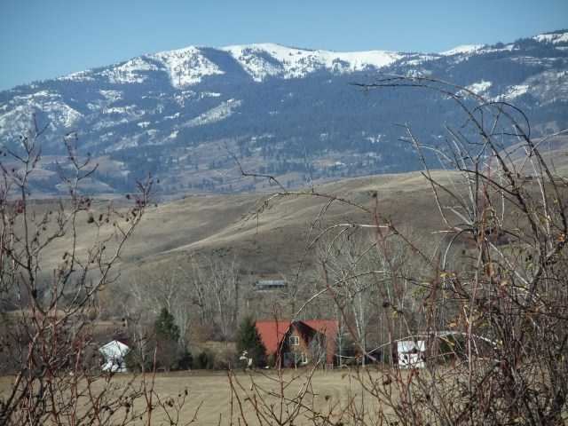 | ||
Weather -2°C, Wind SE at 10 km/h, 75% Humidity Area 2.668 km² (259 ha Land / 8 ha Water) | ||
Council is a city in and the county seat of Adams County, Idaho, United States. The population was 839 at the 2010 census.
Contents
- Map of Council ID 83612 USA
- Geography and climate
- 2010 census
- 2000 census
- Notable natives
- Transportation
- References
Map of Council, ID 83612, USA
Geography and climate
Council is located at 44°43′48″N 116°26′10″W (44.730083, -116.436213).
According to the United States Census Bureau, the city has a total area of 1.03 square miles (2.67 km2), of which, 1.00 square mile (2.59 km2) is land and 0.03 square miles (0.08 km2) is water.
Council experiences the typical continental Mediterranean climate (Köppen Dsa) of northern Idaho, with cold, snowy winters and hot, dry summers. It differs from cities like Moscow and Bonners Ferry in having substantially hotter summers, with average maxima as much as 7 °F or 4 °C higher and absolute maxima among the highest in the northwestern United States. The average annual precipitation for Council is 24 inches, and the average annual snowfall is around 47 inches.
2010 census
As of the census of 2010, there were 839 people, 360 households, and 224 families residing in the city. The population density was 839.0 inhabitants per square mile (323.9/km2). There were 476 housing units at an average density of 476.0 per square mile (183.8/km2). The racial makeup of the city was 96.5% White, 0.1% African American, 0.7% Native American, 0.2% Asian, 0.1% Pacific Islander, 0.2% from other races, and 2.0% from two or more races. Hispanic or Latino of any race were 3.0% of the population.
There were 360 households of which 25.0% had children under the age of 18 living with them, 49.4% were married couples living together, 9.7% had a female householder with no husband present, 3.1% had a male householder with no wife present, and 37.8% were non-families. 33.9% of all households were made up of individuals and 15.6% had someone living alone who was 65 years of age or older. The average household size was 2.28 and the average family size was 2.87.
The median age in the city was 44.4 years. 21.1% of residents were under the age of 18; 8.7% were between the ages of 18 and 24; 21.1% were from 25 to 44; 28.9% were from 45 to 64; and 20.3% were 65 years of age or older. The gender makeup of the city was 48.7% male and 51.3% female.
2000 census
As of the census of 2000, there were 816 people, 339 households, and 223 families residing in the city. The population density was 1,121.5 people per square mile (431.6/km²). There were 425 housing units at an average density of 584.1 per square mile (224.8/km²). The racial makeup of the city was 96.57% White, 1.72% Native American, 0.12% Asian, 0.12% Pacific Islander, 0.12% from other races, and 1.35% from two or more races. Hispanic or Latino of any race were 1.59% of the population.
There were 339 households out of which 27.4% had children under the age of 18 living with them, 55.5% were married couples living together, 7.7% had a female householder with no husband present, and 34.2% were non-families. 30.1% of all households were made up of individuals and 14.5% had someone living alone who was 65 years of age or older. The average household size was 2.29 and the average family size was 2.87.
In the city, the population was spread out with 23.5% under the age of 18, 5.1% from 18 to 24, 24.8% from 25 to 44, 27.9% from 45 to 64, and 18.6% who were 65 years of age or older. The median age was 43 years. For every 100 females there were 103.5 males. For every 100 females age 18 and over, there were 103.3 males.
The median income for a household in the city was $24,375, and the median income for a family was $30,000. Males had a median income of $26,667 versus $11,691 for females. The per capita income for the city was $15,170. About 11.7% of families and 15.2% of the population were below the poverty line, including 16.1% of those under age 18 and 19.0% of those age 65 or over.
Notable natives
Transportation
The city is served by U.S. Route 95, connecting it to New Meadows to the north and Cambridge and Weiser to the south.