
Country Canada Constituted January 1, 1986 Highways No major routes Population 0 (2011) | Time zone EST (UTC-5) Area 86.9 km² Province Québec | |
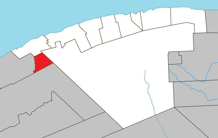 | ||
Coulée-des-Adolphe is an unorganized territory in the Gaspésie–Îles-de-la-Madeleine region of Quebec, Canada.
Map of Coul%C3%A9e-des-Adolphe, QC, Canada
It is named after a small ravine found in the centre of the territory (coulée is an archaic French word meaning "small canal" or "channel"). The ravine is formed by the Adolphe Creek, a tributary of the Little Cap-Chat River, that was named in honour of Adolphe Gagnon or one of the sons of this former inhabitant. The creek is only 2.5 kilometres (1.6 mi) long and drops from an elevation of 250 metres (820 ft) off the Appalachian plateau to less than 100 metres (330 ft).
References
Coulée-des-Adolphe Wikipedia(Text) CC BY-SA