
Established 1999 | Area 269 km² | |
 | ||
Managing authorities Website Cottan-Bimbang National Park See also Protected areas ofNew South Wales Management National Parks and Wildlife Service | ||
Mitsubishi triton mn glxr at cottan bimbang national park maxwell s flat camp grounds
Cottan-Bimbang is a national park in New South Wales, Australia, 443 km north of Sydney and 65 km south east of Walcha and was formerly a state forest. The Oxley Highway crosses the park south of Werrikimbe National Park. Myrtle Scrub Road is a 15 kilometre circuit in the west of the park that connects with the Oxley Highway.
Contents
- Mitsubishi triton mn glxr at cottan bimbang national park maxwell s flat camp grounds
- Flora and fauna
- References
Flora and fauna
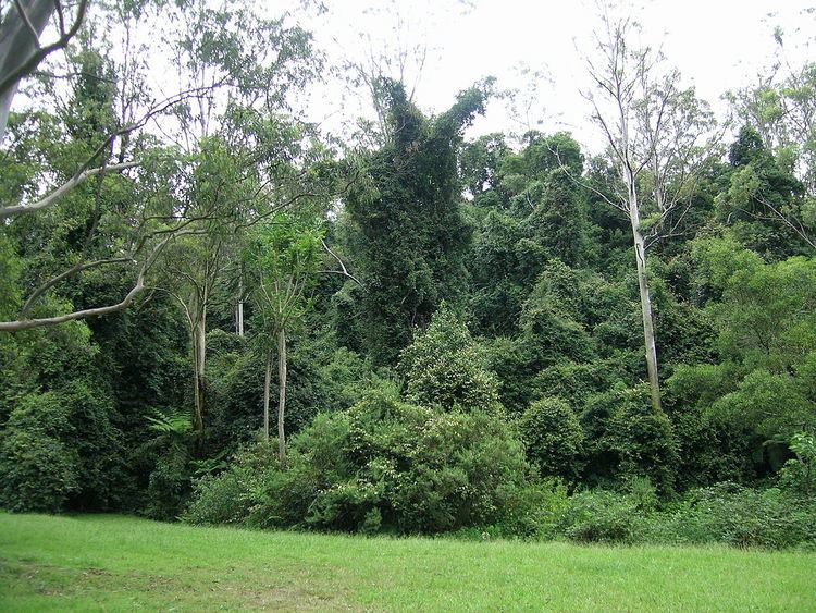
This park is situated on the eastern escarpment with extensive tall old-growth eucalypt forest, rainforest, threatened frog species, yellow-bellied gliders (Petaurus australis) and koalas. 'Cottan-bimbang' is the local Aboriginal word for the walking stick palm (Linospadix monostachya), which grows in the park's temperate rainforests.
Blackberries (Rubus) are creating a serious weed problem in the park.
There is a barbecue area, picnic area and public toilets at Stockyard Creek on the Oxley Highway and a cleared area for picnics next to Cells River on Myrtle Scrub Road. There is a cleared area for camping at Maxwells Flat on the Causeway Road, and a long drop toilet.