
Metropolitan area Lisbon Population 47,661 (2011) | Postal code P-2855 Local time Monday 7:04 PM | |
 | ||
Weather 16°C, Wind N at 10 km/h, 85% Humidity Neighborhoods Miratejo, Vale de Milhaços, Alto do Moinho | ||
Corroios is a civil parish in the municipality of Seixal in the district of Setúbal, Portugal. It is part of the Lisbon Metropolitan Area. The population in 2011 was 47,661, in an area of 17.11 km². Corroios remains as the second most populous town in Portugal, after Algueirão-Mem Martins (note: this ranking includes only vilas [towns] and excludes cidades [cities]). The town is located on the south side of the Tagus River, opposite Lisbon, the capital of Portugal.
Contents
Map of Corroios, Portugal
Corroios has a lot of immigrants, mainly from Africa but also from Eastern Europe and Asia and one third of the population is below the age of 25 years.
History
The oldest traces of human presence in the Corroios territory date from the Roman occupation and can be found in Quinta do Rouxinol.
In 1385 Almada, including a part of Corroios, was donated to D. Nuno Alvares Pereira, Constable of the Kingdom, by King João I. D. Nuno used his land in Corroios to create a farm and in 1403, he built the first mill of the municipality of Seixal.
The Corroios parish was founded in 1369, until then it was a part of the larger Almada that encompassed most of the current territories of Almada and Seixal.
During the Age of Discovery, this was an important loading area of shipments to Lisbon.
With the creation of the Municipality of Seixal on November 6, 1836, Corroios was extinct and merged into the Freguesia of Amora. Finally, on April 7, 1979, after a long period of almost 150 years, the Freguesia of Corroios was restored to an independent village.
On May 20, 1993, Corroios rose into a town.
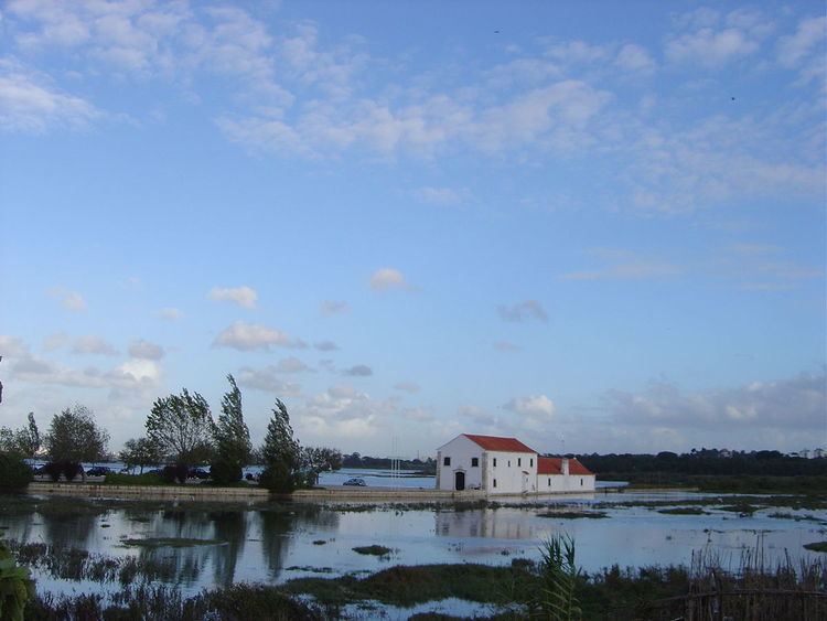
Furthermore, Corroios has an important natural heritage; one such example being the Corroios Salt Marsh (Sapal de Corroios), which is integrated in the REN-National Ecological Reserve.
Localities
The parish has the following neighborhoods:
Civic
Military
Religious
Education
Corroios has six primary schools, two secondary schools and one high school: