
Country United States ZIP codes 41731 Elevation 284 m Local time Monday 8:56 AM | Time zone Eastern (EST) (UTC-5) GNIS feature ID 490126 Population 792 (2000) Area code 606 | |
 | ||
Weather 12°C, Wind S at 8 km/h, 59% Humidity | ||
Cornettsville is an unincorporated community in Perry County, Kentucky, United States, within the state's eastern mountain region known for coal mining. The population is 792 as of the 2000 United States Census. The town was named for one of the early pioneers to the area, William Jesse Cornett, whose log cabin and burial site can still be seen today.
Contents
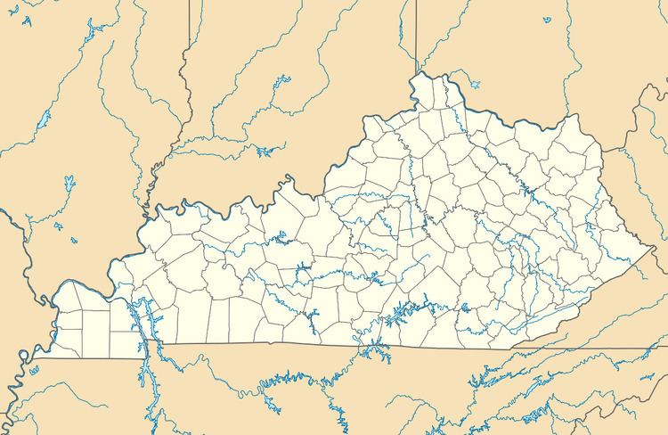
Map of Cornettsville, KY, USA
Geography
Cornettsville is located at 37°08′02″N 83°04′37″W, with an elevation of approximately 932 feet (284 m). The town is located in the Eastern Mountain Coal Fields region of Kentucky and it is in the eastern time zone of the United States. The zip code for Cornettsville is 41731.
References
Cornettsville, Kentucky Wikipedia(Text) CC BY-SA