Girish Mahajan (Editor)

Cordillera Oriental (Bolivia)

Updated on
Edit
Like
Comment
Share on FacebookTweet on TwitterShare on LinkedInShare on Reddit
Highest point
  
Nuevo Mundo volcano

Mountains
  
Nuevo Mundo volcano

Country
  
Bolivia

Cordillera Oriental (Bolivia) wwwpeakbaggercomphotoashxphid2864ampl0

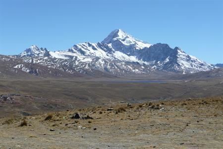
The Cordillera Oriental are parallel mountain ranges of the Bolivian Andes emplaced on the eastern and north eastern margin of the Andes. Large parts of Cordillera Oriental are forested and humid areas rich in agricultural and livestock products. Geologically Cordillera Oriental is formed by the Central Andean fold and thrust belt.

Contents

Map of Cordillera Oriental, Bolivia

Division

The cordillera can be divided into three sections that are as follows:

  • The northern section is a continuous mountain range like Eslabón, San Buenaventura, Muchane, Pilón, etc. and between its important summits you can find Astalaya and Cerro Colorado.
  • The central section was formed entirely by the Cochabamba mountain range, this section crossing the department of Cochabamba forms the Yungas and the Chapare. Its major summits include Tunari at approximately 5,200 meters and San Benito with 4,298 meters. It extends from the department of Santa Cruz, forming the isolated mountain ranges like Mataracu, San Rafael, Las Juntas, Los Volcanes, these all ending in Amboró National Park.
  • The southern section starts north of Chuquisaca with the Presto mountain range and ending in the Caiza and Capirenda mountain ranges in Gran Chaco province in the department of Tarija. The easternmost range of the southern section and the Bolivian Andes is Serranía del Aguaragüe. The southern section does not contain representative summits.
  • References

    Cordillera Oriental (Bolivia) Wikipedia