
Elevation 2,300 m | Last eruption 4920 BC Parent range Andes | |
 | ||
Similar Michinmahuida, Huequi, Yanteles, Irruputuncu, Cerro del Azufre | ||
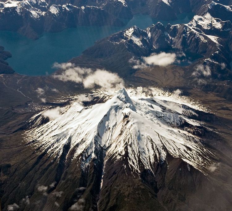
Corcovado Volcano ([korkoˈβaðo]) is a stratovolcano located about 25 kilometres (16 mi) south of the mouth of Yelcho River, in the Palena Province, Los Lagos Region, Chile. The glacially eroded volcano is flanked by Holocene cinder cones. The volcano's base has likely prehistoric lava flows that are densely vegetated. The most distinctive feature of this volcano is its stepped top, similar to that of Puntiagudo Volcano. At its foot lies a series of beautiful lakes. Corcovado dominates the landscape of Gulf of Corcovado area and is visible from the Chiloé Island, weather allowing.
Contents
Map of Corcovado Volcano, Chait%C3%A9n, Los Lagos Region, Chile
The volcano and the adjacent area form part of Corcovado National Park. The town of Chaitén was formerly the main gateway to this protected area.
Eruptive history
Corcovado has two unconfirmed eruptions in 1834 and 1835 with lava flows from flank cones, which are probably based on confusion with Michinmahuida volcano. Three tephra layers are linked to Corcovado volcano, of which the two youngest are dated 7,980 BP and 6,870 BP respectively.