
Country Canada Time zone EST (UTC-5) Area 137.9 km² Population 891 (2016) Number of airports 1 | Electoral district Aivilik Canadian Postal code X0C 0C0 Elevation 64 m Local time Monday 1:49 AM | |
 | ||
Weather -31°C, Wind NW at 5 km/h, 68% Humidity | ||
Coral harbour sar hd
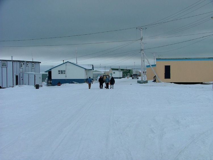
Coral Harbour (Inuktitut: Salliq/Salliit, Syllabics: ᓴᓪᓕᖅ/ᓴᓪᓖᑦ), is a small Inuit community that is located on Southampton Island, Kivalliq Region, in the Canadian territory of Nunavut. Its name is derived from the fossilized coral that can be found around the waters of the community which is situated at the head of South Bay. The name of the settlement in Inuktitut is Salliq, sometimes used to refer to all of Southampton Island. The plural Salliit, means large flat island(s) in front of the mainland.
Contents
- Coral harbour sar hd
- Map of Coral Harbour NU Canada
- Northern canada day 4 coral harbour le nord canadien jour 4 coral harbour
- History
- Demographics
- Transportation
- Notable residents
- Climate
- References
Map of Coral Harbour, NU, Canada
Northern canada day 4 coral harbour le nord canadien jour 4 coral harbour
History
The Sadlermiut ("inhabitants of Salliq") whose name is derived from Salliq previously occupied the area. The Sadlermiut are thought to be the last vestige of the Tuniit. The Tuniit, a pre-Inuit culture, officially went ethnically and culturally extinct in 1902-03 when a Western illness killed all of the Sallirmiut in a matter of weeks. However, others believe that the Sadlermiut were in fact descendants of the Thule, whose geographically isolated culture would have developed idiosyncratically from the mainland Thule culture. A third theory indicates that the Sadlermiut did not necessarily belong to either group, but because of intermarriage, their roots may have in fact been part of both Dorset and Thule cultures.
At the beginning of the 20th century, the area was repopulated by Aivilingmiut, whose name was to be later adapted for the Aivilik electoral district, from the Repulse Bay and Chesterfield Inlet areas, influenced to do so by whaler Capt. George Comer and others. Baffin Islanders arrived 25 years later. John Ell, who as a young child travelled with his mother Shoofly on Comer's schooners, eventually became the most famous of Southampton Island's re-settled population.
Demographics
At the 2016 census the population was 891, an increase of 6.8% from the 2011 census. Coral Harbour is the only Nunavut community that does not observe daylight saving time, remaining on Eastern Standard Time year-round.
Transportation
The only way to reach this community is by plane at Coral Harbour Airport or by water (such as the resupply barges that come from Churchill, Manitoba, every summer) and the main transportation on the island itself (nearly the same size as Switzerland) is by snowmobile and dog sleigh in the winter and all-terrain vehicle in the summer. Despite the harsh climate there is plentiful wildlife around the island. Among some of the species found there are walruses, polar bears, barren-ground caribou, ringed seals, gyrfalcons, and (rarely) peregrine falcons.
Notable residents
Climate
Throughout December 2010 and early January 2011, Nunavut, northern Quebec and western Greenland set many high temperature records. In Coral Harbour, a high of 3.3 °C (37.9 °F) in mid-December broke the old record of 1.7 °C (35.1 °F) set in 1963. The daily minimum temperature on 6 January 2011, was about 30 °C (54 °F) warmer than normal. The unusual warmth was due largely to an unseasonal area of high pressure over Greenland, and very negative values of the Arctic oscillation and North Atlantic oscillation. Mostly in the 21st century, the conditions have combined to produce an Arctic dipole anomaly that brings warm air to the Arctic regions and cold air to the continents.