
 | ||
Copernicus is the world's largest single earth observation programme and directed by the European Commission in partnership with the European Space Agency (ESA). It aims at achieving a global, continuous, autonomous, high quality, wide range Earth observation capacity. Providing accurate, timely and easily accessible information to, among other things, improve the management of the environment, understand and mitigate the effects of climate change, and ensure civil security. It follows and greatly expands on the work of the previous 2.3 billion euros European Envisat program which operated from 2002 to 2012.
Contents
- History
- Sentinel missions
- Contributing missions
- In Situ Coordination
- Services component
- Users
- Dependencies
- Other relevant initiatives
- References
Its cost during 1998 to 2020 are estimated at 6.7 billion euros with around €4.3bn spend in the period 2014 to 2020 and shared between the EU (66%) and ESA (33%) with benefits of the data to the EU economy estimated at roughly 30 billion euros through 2030. ESA as a main partner has performed much of the design and oversees and co-funds the development of Sentinel mission 1, 2, 3, 4, 5 and 6 with each sentinel mission consisting of at least 2 satellites and some like sentinel 1 consisting of 4 satellites. They will also provide the instruments for MTG and MetOp-SG weather satellites of EUMETSAT where ESA and EUMETSAT will also coordinate the delivery of data from upwards of 30 satellites that form the contributing satellite missions to Copernicus.
The objective is to use multi-source data to get timely and quality information, services and knowledge, and to provide autonomous and independent access to information in relation to the environment and security on a global level. In other words, it will pull together all the information obtained by the Copernicus environmental satellites, air and ground stations to provide a comprehensive picture of the "health" of Earth. The geo-spatial information services offered by Copernicus can be grouped into six main interacting themes: land, ocean, emergency response, atmosphere, security and climate change. The first three Copernicus services under the land, ocean and emergency response themes and two additional services addressing the atmosphere and security themes were unveiled at the Copernicus Forum held in Lille in September 2008.
Copernicus builds upon three components:
History
Over the last decades, European and national institutions have made substantial R&D efforts in the field of Earth observation. These efforts have resulted in tremendous achievements, but the services and products developed during this period had limitations that were inherent to R&D activities (e.g. lack of service continuity on the long-term). The idea for a global and continuous European earth observation system was developed named Global Monitoring for Environment and Security (GMES) which was later turned into Copernicus after the EU became involved in financing and development.
In 2014-2015 Copernicus is moving towards an operational phase. The key to providing operational Copernicus services is to have an appropriate governance and business model structure in place that supports provisioning of these services. Copernicus has been moving from R&D to operational services, following a phased approach:
19 May 1998: institutions involved in the development of space activities in Europe give birth to GMES through a declaration known as "The Baveno Manifesto". At that time, GMES stands for "Global Monitoring for Environmental Security"
Year 1999: the name is changed to "Global Monitoring for Environment and Security", thus illustrating that the management of the environment also has security implications.
Year 2001: at the occasion of the Gothenburg Summit, the Heads of State and Government request that "the Community contribute to establishing by 2008 a European capacity for Global Monitoring for Environment and Security".
October 2002: the nature and scope of the "Security" component of GMES are defined as addressing prevention of and response to crises related to natural and technological risk, humanitarian aid and international cooperation, monitoring of compliance with international treaties for conflict prevention, humanitarian and rescue tasks, peacekeeping tasks and surveillance of EU borders.
February 2004: the Commission Communication "GMES: Establishing a GMES capacity by 2008" introduces an Action Plan aimed at establishing a working GMES capacity by 2008. In 2004, a Framework Agreement is also signed between EC and ESA, thus providing the basis for a space component of GMES.
May 2005: the Commission Communication "GMES: From Concept to Reality" establishes priorities for the roll-out of GMES services in 2008, the initial focus being on land monitoring, marine monitoring and emergency response services, also known as Fast Track Services (FTS). Later services, also known as Pilot Services, are expected to address atmosphere monitoring, security and climate change.
June 2006: the EC establishes the GMES Bureau, with the primary objective of ensuring the delivery of the priority services by 2008. Other objectives of the GMES Bureau are to address the issues of the GMES governance structure and the long-term financial sustainability of the system.
May 2007: adoption of the European Space Policy Communication, recognising GMES as a major flagship of the Space Policy.
September 2008: official launch of the three FTS services and two Pilot services in their pre-operational version at the occasion of the GMES Forum held in Lille, France.
November 2008: the Commission Communication "GMES: We care for a Safer Planet" establishes a basis for further discussions on the financing, operational infrastructure and effective management of GMES.
May 2009: the Commission Proposal for a Regulation on "the European Earth Observation Programme (GMES) and its initial operations (2011-2013)" proposes a legal basis for the GMES programme and EC funding of its initial operations.
November 2010: the regulation on "the European Earth Observation Programme (GMES) and its initial operations (2011-2013)" entered into force.
June 2011: the Commission presents its proposal for the next multiannual financial framework (MFF) corresponding to the period 2014-2020 (Communication “A Budget for Europe 2020”). In this document, the Commission proposes to foresee the funding of the GMES programme outside the multiannual financial framework after 2014.
November 2011: The Commission Communication on the "European Earth monitoring programme (GMES) and its operations (from 2014 onwards)" presents the Commission's proposals for the future funding, governance and operations of the GMES programme for the period 2014 - 2020. In particular, the Commission proposes to opt for the creation of a specific GMES fund, similar to the model chosen for the European Development Fund, with financial contributions from all Member States, based on their Gross National Income (GNI).
December 2012: the Commission announces the name change to Copernicus.
October 2014: ESA and European Commission have established a budget for Copernicus Programme covering years 2014-2020 within Multiannual Financial Framework. Budget provided a total of €4.3 billion, including €3.15 billion for ESA to cover operations of the satellite network and a construction of the remaining satellites.
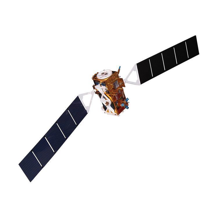
Sentinel missions
ESA is currently developing seven missions under the Sentinel programme. The Sentinel missions include radar and super-spectral imaging for land, ocean and atmospheric monitoring. Each Sentinel mission is based on a constellation of two satellites to fulfill and revisit the coverage requirements for each mission, providing robust datasets for all Copernicus services. The Sentinel missions will have the following objectives:
Contributing missions
Before the Sentinel missions provide data to Copernicus, numerous existing or planned space missions provide or will provide data useful to the provision of Copernicus services. (These missions are often referred to as "GMES Contributing Missions (GCMs)".)
Data provided by non-European satellite missions (e.g. LANDSAT, GOSAT, RADARSAT-2) can also be used by Copernicus.
In-Situ Coordination
GMES In-Situ Coordination (GISC). GISC is a FP7 funded initiative, will last for three years (January 2010 – December 2012) and is coordinated by the European Environment Agency (EEA).
In-situ data are all data from sources other than Earth observation satellites. Consequently, all ground-based, air-borne, and ship/buoy-based observations and measurements that are needed to implement and operate the Copernicus services are part of the in-situ component. In-situ data are indispensable; they are assimilated into forecasting models, provide calibration and validation of space-based information, and contribute to analysis or filling gaps not available from space sources.
GISC objectives will be achieved by:
GISC is undertaken with reference to other initiatives, such as INSPIRE (Infrastructure for Spatial Information in Europe) and SEIS (Shared Environmental Information System) as well as existing coordination and data exchange networks. The coordinated access to data will retain the capacity to link directly data providers and the service providers because it is based on the principles of SEIS and INSPIRE. The implementation of INSPIRE is embedded in the synergies and meta-data standards that are used in GISC. Data and information will aim to be managed as close as possible to its source in order to achieve a distributed system, by involving countries and existing capacities that maintain and operate the required observation infrastructure.
Services component
Copernicus services are dedicated to the monitoring and forecasting of the Earth's subsystems. They contribute directly to the monitoring of climate change. Copernicus services also address emergency management (e.g. in case of natural disaster, technological accidents or humanitarian crises) and security-related issues (e.g. maritime surveillance, border control).
Today, Copernicus services address six main thematic areas:
The development of the pre-operational version of the services has been realised by a series of projects launched by the European Commission and partly funded through the EU's 7th Framework Programme (FP7). These projects were geoland2 (land), MyOcean (marine), SAFER (emergency response), MACC and its successor MACC II (atmosphere) and G-MOSAIC (security). Most of these projects also contributed to the monitoring of Climate Change.
Users
The system focuses on needs of the European Commission and its agencies. Main users of Copernicus will be for example farmers, rescue workers and scientists. Copernicus should allow policy-makers to prepare national, European and international legislation on environmental matters (including climate change) and to monitor the implementation of this legislation.
Copernicus is the European Union contribution to the Global Earth Observation System of Systems (GEOSS) thus delivering geospatial information globally.
Dependencies
Copernicus uses OpenStreetMap data in their maps production.
Other relevant initiatives
Other initiatives will also facilitate the development and functioning of Copernicus services:
Copernicus is one of three related initiatives that are the subject of the GIGAS (GEOSS, INSPIRE and GMES an Action in Support) harmonization and analysis project under the auspices of the EU 7th Framework Programme.