Population 20 Postal code 5690 | Postcode(s) 5690 Local time Monday 10:21 AM | |
 | ||
Weather 20°C, Wind SE at 29 km/h, 71% Humidity | ||
Coorabie is a settlement in South Australia. It is outside of district council boundaries, and therefore managed by the Outback Communities Authority. It is located in the west of South Australia, and includes the Wahgunyah Conservation Park. The Eyre Highway passes through the locality, although the Coorabie settlement is south of the highway.
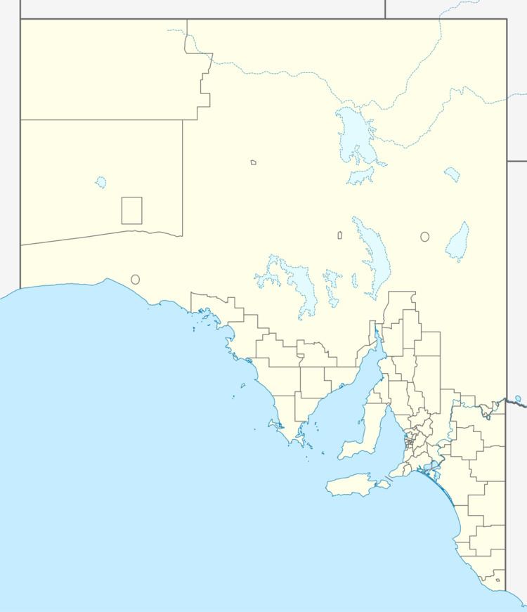
Map of Coorabie SA 5690, Australia
Construction of helicopter landing facilities began in 2015, to serve the BP/Statoil oil exploration project in the Great Australian Bight.
References
Coorabie Wikipedia(Text) CC BY-SA
