Population 3 (2015) Cooladdi Bakers Bend Postal code 4479 | Postcode(s) 4479 Elevation 300 m | |
 | ||
Location 82.8 km (51 mi) SW of Charleville349 km (217 mi) W of Roma826 km (513 mi) W of Brisbane | ||
Cooladdi is a ghost town and locality in the Shire of Murweh, Queensland, Australia. The town is 826 kilometres (513 mi) west of the city of Brisbane. In 2015, the population was 3 (down from 4 in 2013), all of whom reside at the general store.
Contents
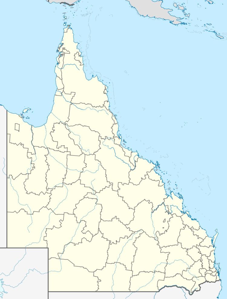
Map of Cooladdi QLD 4479, Australia
Geography
The town is in the centre of the locality. The Western railway line passes from east to west through the town and locality; the town was served by the Cooladdi railway station. The Diamantina Developmental Road also passes from east to west through the town and locality.
History
The railway station was originally called Yarronvale after a local pastoral station with the town taking its name from the railway station. However, it was renamed in 1913 to Cooladdi, an Aboriginal word meaning black duck, to avoid confusion with the pastoral station, which was 15 miles away.
Cooladdi was a railhead for the local pastoral community. At one time, Cooladdi had a school, post office, and police station with a population of about 270 people. As the railway line extended further west, Cooladdi's role and population declined.
The Cooladdi State School originally opened on 19 March 1926 as a Provisional School with 9 students under teacher A.W. Marsh. In 1933 a new school building was constructed and the school redesignated as a State School. The school closed on 3 May 1974.
