
Elevation 8,408 ft (2,563 m) Width 8 mi (13 km) | Length 17 mi (27 km) N-S Country United States of America | |
 | ||
Borders on Whitehorse Mountain-NWMimbres Mountains-NGood Sight Mountains-ESEDeming, NM & Florida Mtns-S Similar Massacre Peak, Florida Mountains, Big Hatchet Mountains, Robledo Mountains, Caballo Mountains | ||
The Cookes Range (Cooke's Range, Cooks Range or Cook's Range) is a small, 17-mi (27 km) long mountain range in northern Luna County, New Mexico, which extends slightly north into southeastern Grant County. The range is a southern continuation of the Mimbres Mountains, itself the southeast portion of the extensive north-south running Black Range. The Cooks Range is surrounded by lower elevation areas of the northwest Chihuahuan Desert.
Contents
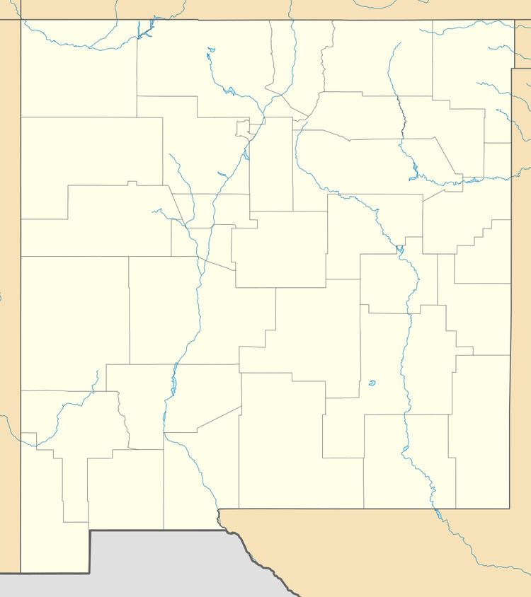
- Map of Cookes Range New Mexico 88030 USA
- DescriptionEdit
- HistoryEdit
- Environment and ecologyEdit
- References
Map of Cookes Range, New Mexico 88030, USA
DescriptionEdit
Cookes Range is about 17 mi long, and about 8 mi at its widest. The range is a basin and range north-south trending uplift with a center-north section intruded by granodiorite which forms Cookes Peak, 8,408 feet (2,563 m). Cookes Peak is at the head of OK Canyon, which exits the range eastwards. South of OK Canyon is a transverse ridgeline, across the range west to east, named Rattlesnake Ridge. One other larger peak occurs in the mountains and hills in the southern part of the range, Massacre Peak, at 5,667 feet (1,727 m). Other outlying lower elevation hills occur, east and west, in the north section, as the Cookes Range merges into the lower elevations of the Mimbres Mountains section of the Black Range.
HistoryEdit
The range was named after its prominent peak, which in turn was named after Captain Philip St. George Cooke of the Mormon Battalion. Cookes Spring was a station on the Butterfield Trail.
Fort Cummings (1863–1873, 1880–1886), located in the southeastern foothills of the range near Cookes Spring was established to restrict Apache raiding.
Silver was discovered in the range north of Cooks Peak in 1876, and the Cooks Peak Mining District was established in 1880. Silver, lead, and zinc were mined there until 1967.
Environment and ecologyEdit
The higher elevations of the range are pinon-juniper shrublands habitat which gives way to Chihuahuan desert in the foothills. The Cookes Range Wilderness Study Area is located in the range.