
Time zone PET (UTC-5) Elevation 175 m | Area 853 km² | |
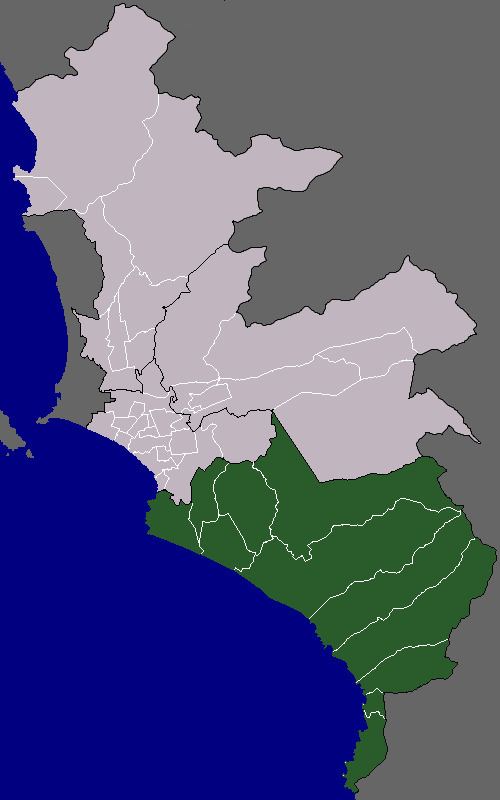 | ||
Districts Chorrillos, Lurín, Pachacamac, Pucusana, Punta Hermosa, Punta Negra, San Bartolo, San Juan de Miraflores, Santa María del Mar, Villa el Salvador, Villa María del Triunfo | ||
The Cono Sur is one of the six areas that make up the Lima Metropolitan Area. It is located in the southern part of the metropolis hence its name. This socieoeconomic levels of this district are varied. Most of the population however belongs to the lower and middle classes. An exception to this, however, would be the districts of Chorrillos, San Bartolo, and Santa Maria who have a large population belonging to the middle to upper classes. Many of the residents belonging to these districts are immigrants from various regions of the country. As they settled there, some developed successful communities such as Villa El Salvador, while others still live in poor housing known as Pueblos jóvenes. The area is popular for its beaches and its coastal population greatly increases during the summer months.
Districts
The following districts are part of the Cono Sur: