
Subdivisions 1 populated center Elevation 158 m | Founded December 28, 1961 Area 70.57 km² | |
 | ||
Capital Villa María del Triunfo Neighborhoods 19 De Julio, El Manantial, Los Heraldos Negros | ||
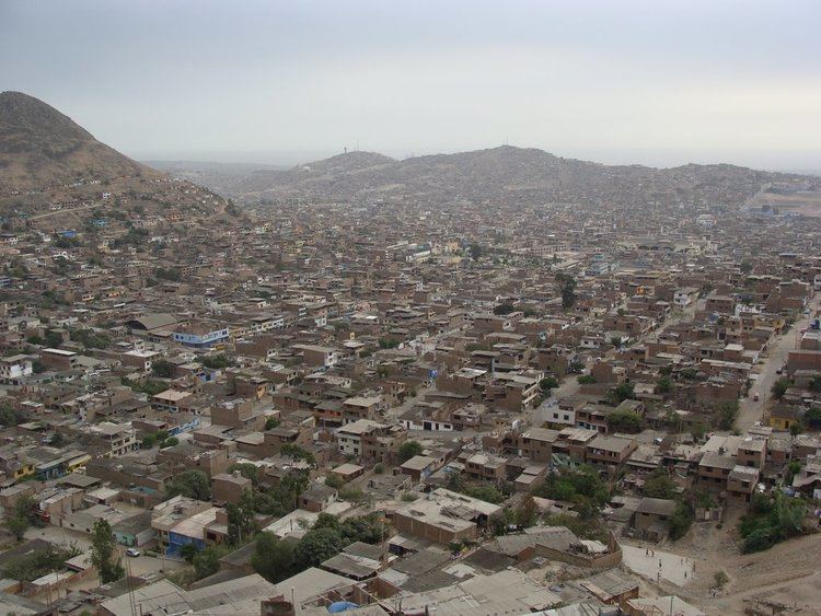
Villa María del Triunfo is a district of the Lima Province in Peru. It located in the Cono Sur area of the city of Lima. Officially established as a district on December 28, 1961, the current mayor (alcaldesa) of Villa María del Triunfo is Silvia Barrera. The district's postal code is 35.
Contents
- Map of Villa MarC3ADa del Triunfo Peru
- D a de los muertos y comida cementerio de villa mar a del triunfo per
- Geography
- Boundaries
- Demographics
- References
Map of Villa Mar%C3%ADa del Triunfo, Peru
D a de los muertos y comida cementerio de villa mar a del triunfo per
Geography
The district has a total land area of 70.57 km². Its administrative center is located 158 meters above sea level.
Boundaries
Demographics
According to a 2002 estimate by the INEI, the district has 329,057 inhabitants and a population density of 4662.8 persons/km². In 1999, there were 71,889 households in the district.
According to Propoli (http://www.propoli.org/quehacemos.htm) :
the principal economic activities in the region are timber, restaurants, footwear, clothing, metalworking, tourism.
Undernourishment rate is 14.76%
Population without access to drinking water is 34.05%
Population without electricity is 22.9%