
Existed: 1932 – present Length 18.85 km | Constructed 1932 | |
 | ||
County | ||
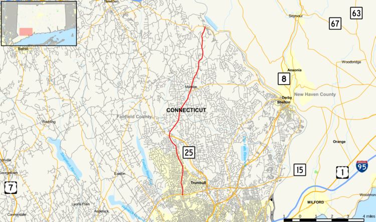
Route 111 is a state highway in southwestern Connecticut, United States, running from the Merritt Parkway (Route 15 in Trumbull to Route 34 in Monroe. The junction with the Merritt Parkway is currently the only single-point urban interchange (SPUI) in the entire state.
Contents
Map of CT-111, Connecticut, USA
Route description
Route 111 starts as Main Street at an intersection with the Meritt Parkway (Route 15) in Trumbull, just north of the Bridgeport city line. South of Route 15, Main Street continues for another 0.3 miles (0.48 km) to the Bridgeport line as an unsigned state highway with designation State Road 731 and provides access to the Westfield Trumbull mall. Route 111 proceeds north, traveling near Island Brook Park, before intersecting Route 127 about 1.8 miles (2.9 km) north of Route 15. Route 111 continues north, paralleling Route 25 through the Long Hill section of Trumbull, then turns northeast to intersecting Route 25. Beyond the junction with Route 25, Route 111 is known as the Monroe Turnpike, which heads on a northerly track towards Monroe. It passes by the Century Plaza shopping center in Monroe and intersects Route 110 at the town center. It continues north, reaching its end at Route 34 in the Stevenson section of Monroe.
History
The road from Trumbull to Stevenson via Monroe center was chartered as a turnpike in May 1826 and was formally known as the Monroe and Zoar Bridge Turnpike. Operations of the turnpike continued through 1852 when the portion north of Monroe center was discontinued. At that time, the road from Bridgeport to Trumbull was already a toll road known as the Bridgeport and Newtown Turnpike, connecting its namesake towns and had been in operation since 1801.
In 1922, the former Monroe and Zoar Bridge Turnpike (more commonly known as simply the Monroe Turnpike) became part of the Connecticut state highway system. It was given the designation State Highway 308 and ran from modern Route 25 to modern Route 34. The continuation into Bridgeport, which would later become Route 25, was at the time part of State Highway 122.
Modern Route 111 was created in the 1932 state highway renumbering from old State Highway 308. In 1982, with the opening of the Route 25 freeway, the former southern section of Route 25 within Trumbull was reassigned to Route 111, while the portion in Bridgeport reverted to the town.
Junction list
The entire route is in Fairfield County.