
 | ||
Us 101 south ca conejo grade ventura freeway mile 53 to mile 42
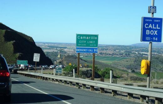
The Conejo Grade is a 7% grade incline of the Ventura Freeway linking Thousand Oaks and cities of the Conejo Valley, with Camarillo and the cities on the Oxnard Plain. A Caltrans inspection station for trucks is stationed at the upper terminus of the grade.
Contents
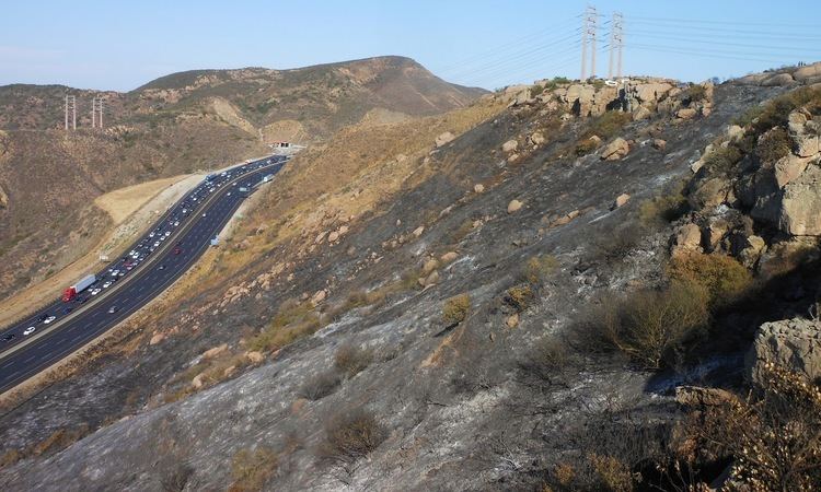
Conejo grade 2016
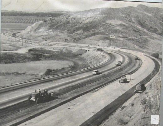
History
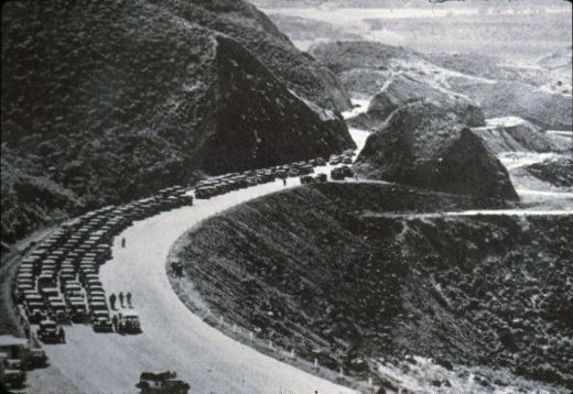
Land for the highway was originally part of the Rancho El Conejo, with contributions from Adolfo Camarillo. A road was in place by no later than 1929, as a re-alignment had been done then. Further widening and reduction of blind curves occurred in the 1930s. Caltrans worked on the current grade setup, when the highway was brought to freeway standards in the 1950s. Portions of the original highway continue to receive use by locals as side roads.

References
Conejo Grade Wikipedia(Text) CC BY-SA