
Country United States GNIS feature ID 691781 Local time Saturday 5:51 AM | Time zone Central (CST) (UTC-6) Elevation 50 m | |
 | ||
Weather 6°C, Wind SE at 8 km/h, 73% Humidity | ||
Concordia is a ghost town in Bolivar County, Mississippi, located on the eastern edge of the Mississippi Levee, approximately 2.5 mi (4.0 km) west of Mississippi Highway 1.
Contents
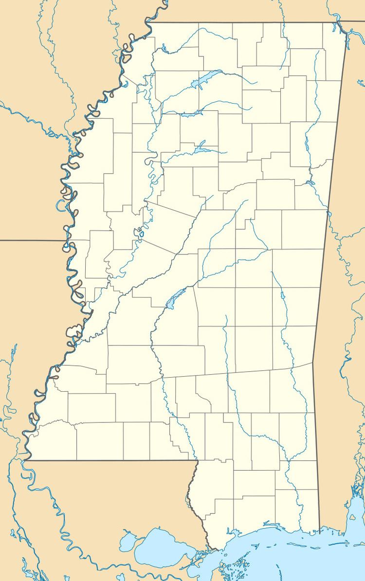
Map of Concordia, Mississippi 38746, USA
Once an important Mississippi River shipping point for cotton, little remains of the community but a cemetery.
History
Concordia is one of the oldest communities in Bolivar County. The Concordia Cemetery, located south of the community, has been used since 1848, and is marked with a historic plaque. The Concordia Methodist Church was also located there.
Concordia was officially formed in 1866, and included "Carson's Landing", located north of the settlement.
Concordia had a population of about 250 by 1879, when yellow fever struck, killing half the population. The town was quarantined for a period.
When the Louisville, New Orleans and Texas Railway was built in 1889, it passed 3 mi (4.8 km) east of the town, and many residents abandoned Concordia and moved to the nearby railway town of Gunnison.
The town became further isolated sometime prior to 1939, when the Mississippi River changed its course. The river had previously followed the "Concordia Bend", with the town located on the east bank. Following the diversion, the main channel of the river moved approximately 5 mi (8.0 km) west, creating "Old River Lake", and oxbow lake, as well as Island No. 70 and Island No. 71.
The area west of Concordia, between the levee and the Mississippi River, is currently used by the Concordia Hunting Club, and occupies 3,700 acres (1,500 ha).