
Postcode(s) 2710 County Townsend Postal code 2710 | Local time Thursday 2:56 PM | |
 | ||
Location 45 km (28 mi) from Pretty Pine35 km (22 mi) from Deniliquin Weather 32°C, Wind NW at 18 km/h, 32% Humidity | ||
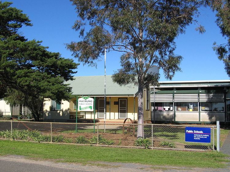
Mayrung is a community in the central part of the Riverina about 45 kilometres east of Pretty Pine and 35 kilometres north-east of Deniliquin.
Map of Mayrung NSW 2710, Australia
The Wiradjuri Aborigines, who inhabited the district prior to white settlement, called it 'Carawatha', which is thought to mean 'place of pines'. Mayrung is situated within the Berriquin Irrigation Area which supplies wool, wheat, fat lambs, rice, dairy products, vegetables, cereals, cattle and pigs.
References
Mayrung, New South Wales Wikipedia(Text) CC BY-SA