
Length 90 km | ||
 | ||
Sources | ||
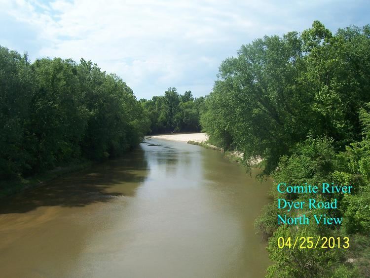
The Comite River is a right bank tributary of the Amite River, with a confluence near the city of Denham Springs, east of Baton Rouge, Louisiana. The river is 56.1 miles (90.3 km) long. Its drainage basin comprises approximately 348 square miles (900 km2) and includes portions of Wilkinson and Amite counties in Mississippi, and East Feliciana and East Baton Rouge parishes in Louisiana. The river's source lies in the hills of the East and West Feliciana parishes, and it empties into the Amite River just north of U.S. Route 190 (Florida Blvd) near the eastern boundary of Baton Rouge.
Contents
Map of Comite River, United States
Flooding
When violent rains that frequent the capital city region strike, the water that pounds the hills and piney forest in the Felicianas drains down into this usually shallow and calm river and quickly transforms it. During such flooding, the water flows southwards, sometimes flooding homes in outlying areas east of Baton Rouge. Floodwaters have been recorded to have covered Greenwell Springs Road in extreme conditions.