
Sovereign state United Kingdom | ||
 | ||
Weather 11°C, Wind W at 18 km/h, 87% Humidity UK parliament constituency | ||
Combe Moor, also known as Coombes Moor, is a small linear village in Herefordshire, located to the southeast of the Welsh settlement of Presteigne, near the border with Wales, 20.1 miles (32.3 km) northwest by road from Hereford.
Contents
Geography
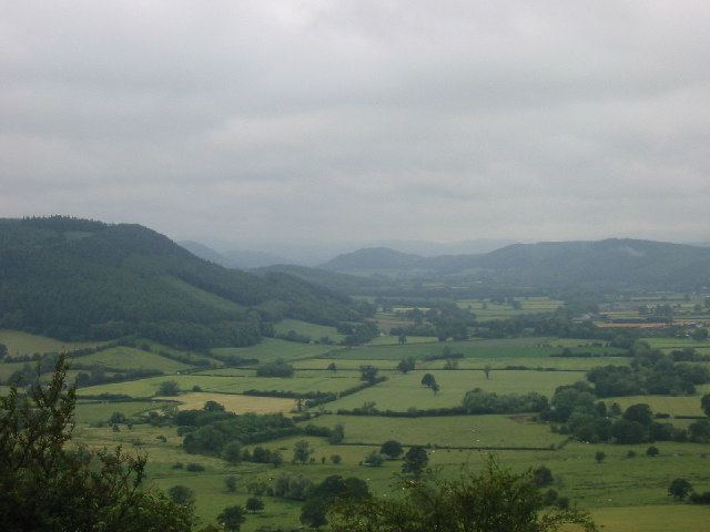
The village is located on the B4362 road on the B4362 road between Shobdon and Presteigne near the confluence of the Hindwell Brook and the River Lugg. During the Devensian period, "the eastward advance of the Wye Glacier blocked the preglacial Lugg at Combe Moor and the river cut a new course to the north-east before turning south-east through the east-west ridge via the Covenhope Gap." Cross and Hodgson described the sediments of the Combe Moor basin in 1975 as "finely laminated and stoneless."
Combe Moor lies to the southeast of Combe, just to the southwest of Byton. Brandhill Wood lies to the south and Park Hill to the northeast. The moor to the north of the village is called Byton Moor and there is also a moor of the same name as the village just to the west of that. The Herefordshire Trail long distance footpath passes through the village.
Landmarks
The Herefordshire Trail leads to Wapley Hillfort. There is an old schoolhouse located to the northeast along the road to Byton. Mistletoe House in the village is a "rural tea room and gallery with a colourful garden". Other cottages in the vicinity include Rue Cottage in the village itself and Wapley cottage along the lane to the southeast.