
Airport type Public Elevation AMSL 2,118 ft / 646 m 2,600 792 Elevation 646 m Phone +1 209-533-5685 | 11/29 2,600 792 Turf Code COA | |
 | ||
Address 10723 Airport Rd, Columbia, CA 95310, USA Owner Tuolumne County, California | ||
Columbia Airport (IATA: COA, FAA LID: O22) is a mile southwest of Columbia, in Tuolumne County, California. It is owned by the County of Tuolumne.
Contents
Facilities
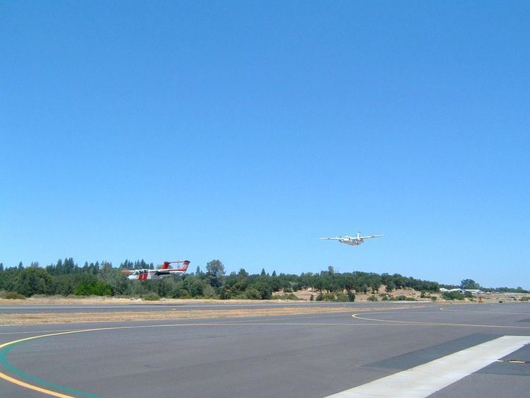
Columbia Airport covers 356 acres (144 ha) and has two runways: 17/35 is 4,670 x 75 ft (1,423 x 23 m) asphalt and 11/29 is 2,600 x 100 ft (792 x 30 m) turf.
In the year ending August 3, 2011 the airport had 46,020 aircraft operations, average 126 per day: 96% general aviation, 4% air taxi and less than 1% military. 106 aircraft are based at the airport: 91% single engine, 4% helicopters, 3% multi-engine, 1% jet, and 1% ultralight.
Historical air service
Columbia Airport had scheduled passenger airline service operated by Yosemite Airlines, a small commuter air carrier, during the late 1970s and early 1980s. According to the Official Airline Guide (OAG), Yosemite Airlines flew nonstop service between the airport and San Francisco International Airport (SFO) with small Cessna and Piper prop aircraft. The airline's route maps from this same time period also show nonstop service from the airport to Lake Tahoe, Modesto, Sacramento and Stockton.
In 1999, Scenic Air, another commuter airline, was operating daily nonstop service between the airport and Oakland International Airport (OAK) with Grumman Gulfstream I propjet aircraft.