
From: US 160 Length 15.3 km | Counties: Montezuma | |
 | ||
County | ||
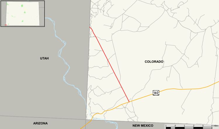
State Highway 41 (SH 41) is a state highway on the Ute Mountain Ute lands in southwest Colorado, United States. It runs through the valley of the San Juan River, heading northwest from U.S. Highway 160 northeast of the Four Corners Monument. SH 41 ends at the Utah state line, where the road continues as State Route 162 to Bluff. The road is part of the Trail of the Ancients National Scenic Byway.
Contents
Map of CO-41, Colorado, USA
History
State Highway 41 was created in 1965-1966 on new alignment. Simultaneously, in June 1965, Utah State Route 262 was extended southeast from Montezuma Creek to meet SH 41 (this extension became SR-162 in 2004).
Major intersections
The entire route is in Montezuma County.
References
Colorado State Highway 41 Wikipedia(Text) CC BY-SA