
Length 8.4 km | ||
 | ||
North end: Black Canyon of the Gunnison Nat'l Park | ||
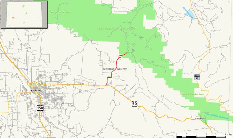
State Highway 347 is a 5.2 mi (8.4 km) long state highway in western Colorado.
Contents
Map of CO-347, Montrose, CO 81401, USA
Route description
The route begins in the south at U.S. Highway 50 approximately ten miles east of Montrose and travels north to provide access to Black Canyon of the Gunnison National Park's south rim facilities.
History
The route was established in 1939 with its current routing. The entire route from US 50 to Black Canyon of the Gunnison National Park was paved by 1960. The national park was upgraded from a national monument in October 1999.
Major intersections
The entire route is in Montrose County.
References
Colorado State Highway 347 Wikipedia(Text) CC BY-SA