
Founded February 11, 1883 Area 5,809 km² Unemployment rate 5.9% (Apr 2015) | Website www.montrosecounty.net Population 40,713 (2013) County seat Montrose | |
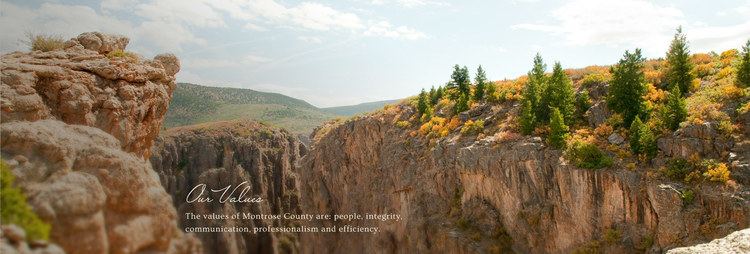 | ||
Points of interest Black Canyon of the Gunni, Ute Indian Museum, East Portal Road, Painted Wall View, Tomichi Point | ||
Atv ride rim dry creek in montrose county colorado
Montrose County is one of the 64 counties of the U.S. state of Colorado. As of the 2010 census, the population was 41,276. The county seat is Montrose, for which the county is named.
Contents
- Atv ride rim dry creek in montrose county colorado
- Map of Montrose County CO USA
- Geography
- Adjacent counties
- National protected areas
- River
- Trails and byways
- Historical site
- Demographics
- Culture
- City
- Towns
- Census designated place
- References
Map of Montrose County, CO, USA
Montrose County comprises the Montrose, CO Micropolitan Statistical Area.
Geography
According to the U.S. Census Bureau, the county has a total area of 2,243 square miles (5,810 km2), of which 2,241 square miles (5,800 km2) is land and 1.9 square miles (4.9 km2) (0.08%) is water.
Adjacent counties
National protected areas
River
Gunnison River (part)
Trails and byways
Historical site
Demographics
As of the census of 2010, there were 41,276 people, 16,484 households, and 11,461 families residing in the county. The population density was 18 people per square mile (7/km²). There were 18,250 housing units at an average density of 8 per square mile (3/km²). The racial makeup of the county was 86.70% White, 0.40% Black or African American, 1.10% Native American, 0.60% Asian, 0.10% Pacific Islander, 8.70% from other races, and 2.40% from two or more races. 19.70% of the population were Hispanic or Latino of any race.
There were 16,484 households out of which 31.20% had children under the age of 18 living with them, 56.10% were married couples living together, 9.10% had a female householder with no husband present, and 30.50% were non-families. 25.80% of all households were made up of individuals and 12.00% had someone living alone who was 65 years of age or older. The average household size was 2.47 and the average family size was 2.97.
The county population was spread out with 24.70% under the age of 18, 6.40% from 18 to 24, 22.50% from 25 to 44, 28.60% from 45 to 64, and 17.80% who were 65 years of age or older. The median age was 42 years. For every 100 females there were 96.00 males. For every 100 females age 18 and over, there were 94.00 males.
Also from the census of 2010, the median income for a household in the county was $46,058, and the median income for a family was $52,152. Males had a median income of $41,301 versus $31,659 for females. The per capita income for the county was $22,413. About 7.30% of families and 10.20% of the population were below the poverty line, including 13.40% of those under age 18 and 9.80% of those age 65 or over.