
Length 2.979 km | ||
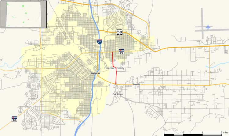 | ||
State Highway 227 is a highway in Pueblo County, Colorado.
Contents
Map of State Hwy 227, Pueblo, CO 81001, USA
Route description
The highway begins at an interchange with US 50 as a continuation of Roselawn Road. As La Crosse Avenue, the route crosses the Arkansas River into the city limit of Pueblo. The route makes a left onto South Joplin Avenue, intersecting a BNSF railroad. After passing near Bradford Park, the designation terminates at SH 96. Joplin Avenue continues northward.
Major intersections
The entire route is in Pueblo County.
References
Colorado State Highway 227 Wikipedia(Text) CC BY-SA