
Length 3.986 km | ||
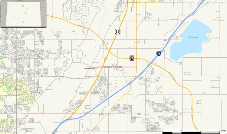 | ||
State Highway 22 (SH 22) is a 2.477-mile-long (3.986 km) state highway in Adams County, Colorado. Its east end is at SH 2 and its west end is at Brighton Road.
Contents
Map of CO-22, Brighton, CO, USA
Route description
The route begins at its eastern terminus in Brighton at SH 2. From there, it winds westward, crossing various major streets in the city. After crossing U.S. Highway 85 (US 85), SH 22 leaves the Brighton city limits at about 1.85 miles. A short while later, it exits the Brighton urban area boundary. From there, it crosses the Fulton Canal and reenters the Brighton city limits, ending at Brighton Road, in a portion of the unincorporated community called Henderson commonly attributed to Brighton.
The route consists of two lanes its entire length. It is not a limited-access highway the entire length, for there are traffic lights at various intersections along its length.
History
The route was established in early 1940s, first numbered as SH 128. In 1954, it was renumbered to SH 22. The route was paved, as it is today, in 1963.
Major intersections
The entire route is in Brighton, Adams County.