
Population 684 (2011 census) Postal code 6330 | Postcode(s) 6330 Area 250 ha | |
 | ||
Location 5 km (3 mi) from Albany | ||
Collingwood Heights is a north-eastern suburb of Albany, Western Australia, between the Albany city centre and Emu Point within the local government area of the City of Albany.
Contents
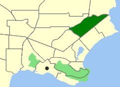
Map of Collingwood Heights WA 6330, Australia
It was gazetted in 1981, prior to which it was known as Collingwood.
Geography
Collingwood Heights is bounded by the Yakamia Creek Diversion to the north, Martin and Ulster Roads to the west and Collingwood Road to the southeast. Most of the suburb's population of 684 persons are concentrated around a small residential estate at Breaksea Park.
The suburb was gazetted in 1981.
Facilities
Collingwood Heights is a small residential suburb located within a wider open area in the creek's catchment area. A B&B and an information bay are located in the suburb.
Collingwood Heights contains a private school, Southlands Christian College, which was established in 1999 and teaches the ACE curriculum. The nearest state primary school is two suburbs away in Mount Clarence. High school students have the option of going to St Joseph's College, a private Catholic school in Spencer Park, or Albany Senior High School.
Transport
Collingwood Heights is served by route 401 and selected route 201 services from Albany operated by Love's Bus Service.