
Country Canada Census division 11 Settled 1950 Elevation 740 m Area code Area code 780 Population 331 (2011) | Time zone MST (UTC-7) Area 253 ha Local time Wednesday 8:10 PM | |
 | ||
Weather -21°C, Wind N at 5 km/h, 75% Humidity | ||
Family living in collingwood cove home for sale
Collingwood Cove is a hamlet in Alberta, Canada within Strathcona County. It is located at the terminus of Highway 629, approximately 17 kilometres (11 mi) southeast of Sherwood Park.
Contents
- Family living in collingwood cove home for sale
- Map of Collingwood Cove AB Canada
- Demographics
- References
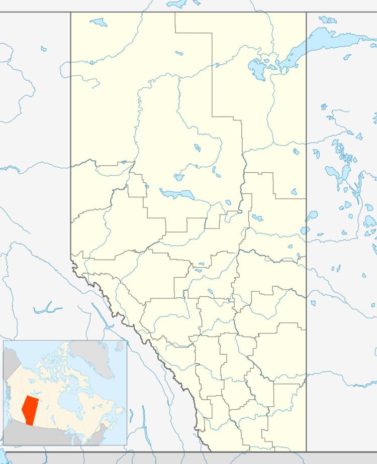
Map of Collingwood Cove, AB, Canada
Commonly referred to as The Cove, Collingwood Cove started growing in the early 1950s as a popular summer lakeside resort. It was popular due to its proximity to Edmonton and its location on Cooking Lake, which was, at that time, one of the best lakes for recreational activities in the region.
Since 1990, there have been several new developments in the hamlet, such as new homes, a modern playground with basketball hoops and a seasonal ice surface. There has also been an active community association that hosts Canada Day celebrations, sleigh rides, skating parties and regular nature walks for the children.
Demographics
As a designated place in the 2016 Census of Population conducted by Statistics Canada, Collingwood Cove recorded a population of 363 living in 137 of its 142 total private dwellings, a change of 7000970000000099999♠9.7% from its 2011 population of 331. With a land area of 2.51 km2 (0.97 sq mi), it had a population density of 144.6/km2 (374.6/sq mi) in 2016.
The population of Collingwood Cove according to Strathcona County's 2015 municipal census is 360.
As a designated place in the 2011 Census, Collingwood Cove had a population of 331 living in 126 of its 133 total dwellings, a -4.1% change from its 2006 population of 345. With a land area of 2.53 km2 (0.98 sq mi), it had a population density of 130.8/km2 (338.8/sq mi) in 2011.