
Population 399 (2006 census) Postal code 2650 | Postcode(s) 2650 Local time Thursday 2:08 PM | |
 | ||
Location 482 km (300 mi) from Sydney27 km (17 mi) from Wagga Wagga43 km (27 mi) from Lockhart22 km (14 mi) from Galore Weather 27°C, Wind S at 13 km/h, 29% Humidity | ||
Harry perryman brett lenon and collingullie gp afl riverina tv
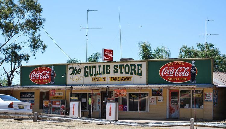
Collingullie /ˈkɒlɪn.ɡʌli/ is a village 26 kilometres (16 mi) north-west of Wagga Wagga in the Riverina region of New South Wales, Australia. The village is located on the Sturt Highway, between Wagga Wagga and Narrandera, at the crossroads with the road to Lockhart.
Contents
- Harry perryman brett lenon and collingullie gp afl riverina tv
- Map of Collingullie NSW 2650 Australia
- Afl riverina tv collingullie coaching changes
- References
Map of Collingullie NSW 2650, Australia
At the 2006 census, Collingullie had a population of 399 people. The name, Collingullie, could have derived from an Aboriginal word meaning 'boggy ground'.
Collingullie Post Office opened on 1 August 1879 and closed in 1982. The town's school, Collingullie Public School which has 56 students, is located on Urana Street.
Afl riverina tv collingullie coaching changes
References
Collingullie Wikipedia(Text) CC BY-SA