
Location Morocco Easiest route From Tangier Mountain range Rif | First ascent Unknown Elevation 93 m Parent range Rif | |
 | ||
Similar Mount Zagora, Jbel Lakhdar, Tassemit, Jebel Kelti, Jbel Tidirhine | ||
The Charf Hill (French: Colline du Charf) is a hill in Tangier, northern Morocco. Its elevation is 93 metres above sea level and it overlooks the city between the Mediterranean and the Atlantic.
Contents
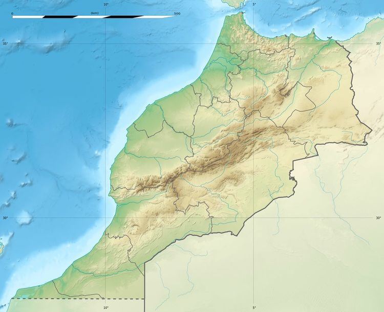
Map of Colline du Charf, Tangier, Morocco
Description
The hill offers a panoramic view of Tangier and the coastline from Cap Malabata in the east to La Montagne in the west. Charf Hill has a number of high-rise buildings and towards the foot of the hill are some of the poor residential districts of Tangier and the Plaza de Toros. The Syrian Mosque of Tangier is also located on the hill and is noted for its style of minaret, rare to the region.
Legend says that the Charf hill is the burial place of the massive body of Antaeus after he was defeated by Hercules.
References
Colline du Charf Wikipedia(Text) CC BY-SA