
Traversed by bridle path | Elevation 2,299 m | |
 | ||
Similar Alps, Col d'Urine, Conca del Pra, Col d'Arpy, Cottian Alps | ||
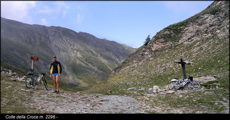
The Colle della Croce (Italian) or Col Lacroix (French, sometimes referred as Col de la Croix) is a pedestrian pass (el. 2,299 m / 7,541 ft) of the Cottian Alps.
Contents
Map of Colle della Croce, Ristolas, France
Etymology
Both in Italian and in French the name means pass of the Cross.
Geography
The pass connects the villages of La Montà (commune of Ristolas, in France) and Villanova (comune of Bobbio Pellice, in Italy).
It forms the limit between the Central and the Southern Cottian Alps.
Maps
References
Colle della Croce Wikipedia(Text) CC BY-SA