
Country Italy Time zone CET (UTC+1) Population 5,000 (2001) | Elevation 760 m Local time Wednesday 10:21 PM | |
 | ||
Weather 3°C, Wind NE at 5 km/h, 54% Humidity | ||
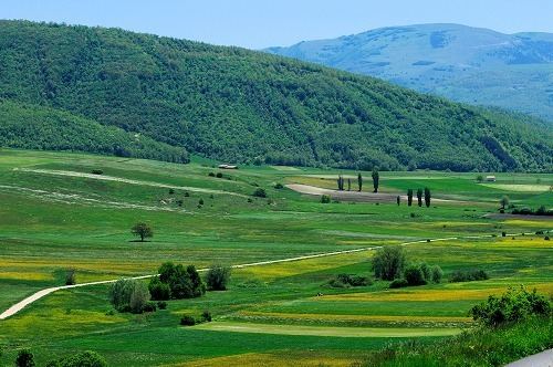
Colfiorito is a village in Umbria, central Italy, former Catholic bishopric under its Roman name Plestia, now a frazione of the comune of Foligno and a Latin Catholic titular see.
Contents
- Map of 06034 Colfiorito Province of Perugia Italy
- Geography
- History
- Ecclesiastical History
- Titular see
- Main sights
- References
Map of 06034 Colfiorito Province of Perugia, Italy
Geography
It is located on a plateau at 760 m over the sea level, on the road from municipal seat Foligno to Macerata, which houses a total of c. 5,000 inhabitants (part of it is under the jurisdiction of Serravalle di Chienti, Marche).
History
In the plateau tombs from the 10th century BC and an Iron Age village (9th century BC) have been found.
In 178 BC existed here the Roman city of Plestia, which had a forum, a temple and other edifices and shortly was a bishopric.
The town was abandoned in the 10th century: the site is now marked by the church of Santa Maria in Plestia.
The area was repopulated by the comune of Foligno, who built here the castle (1269) from which originated the modern village.
Colfiorito was heavily damaged by the earthquake which rocked Umbria and Marche regions on September 26, 1997.
Ecclesiastical History
In the 5th century AD a Bishopric of Plestia was established, which was suppressed in 560, its territory being reassigned to the Diocese of Camerino.
In 950 it was restored as Diocese of Plestia, regaining its territory from the above bishopric of Camerino.
In 1006 it was again suppressed, its territory now being divided between the then dioceses of Spoleto, Foligno and Nocera Umbra.
No residential incumbents available.
Titular see
In 1966 it was nominally restored as a Latin Titular bishopric, which has had the following incumbents, all of the lowest (episcopal) rank except the archiepiscopal first one :