
OS grid reference TL124560 Post town BEDFORD Dialling code 1480 | Region East Sovereign state United Kingdom Postcode district MK44 | |
 | ||
Colesden is a small hamlet located in the English county of Bedfordshire. At the 2011 Census the population of the hamlet was included in the civil parish of Wyboston, Chawston and Colesden.
Contents
Map of Colesden, Bedford, UK
History
Colesden as a settlement was first recorded in 1195. The name Colesden is Anglo-Saxon in origin, and translates as Col's Valley. The Colesden estate was originally entailed to Bushmead Priory. Colesden Manor was first recorded in 1410, and was attached to nearby Roxton. There was no road from Colesden through to Wilden until the enclosure act of 1837.
Today Colesden is almost entirely residential, with no shops or services apart from a community notice board and post box. In earlier years however, Colesden had pubs, a cricket field and church room.
Colesden today
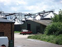
Colesden forms part of the Wyboston, Chawston and Colesden civil parish, and consists of 24 homes, located between the villages of Chawston and Wilden. The main industries in and around Colesden are still farming and agriculture, though a small number of business and industrial units have been constructed since 2000. Shops and most local services are located in the nearby villages of Wyboston and Roxton.