
Country Canada Incorporated 1906 Postal Code P0J 1C0 Area 177.6 km² Local time Wednesday 12:50 PM Area code 705 | Time zone EST (UTC-5) Website www.colemantownship.ca Population 597 (2011) | |
 | ||
Weather 2°C, Wind SW at 31 km/h, 70% Humidity | ||
Coleman is a township in the northeastern part of the Canadian province of Ontario. It is situated in the Timiskaming District of Northern Ontario. The township had a population of 597 in the Canada 2011 Census.
Contents
Map of Coleman, ON, Canada
It is located along Highway 11 and 11-B.
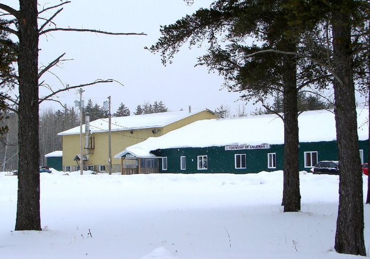
History
The community was first formed around 1906. The township is named after geologist A. P. Coleman who did extensive work in the region in the late 1800s. Coleman also mapped the Sudbury Basin leading to important nickel discoveries, and proved conclusively that the area had been repeatedly glaciated. The township celebrated its first 100 years in 2006.
Demographics
In the Canada 2011 Census, the township has a land area of 178.82 square kilometres and a population density of 3.3 persons per square kilometre. The number of private dwellings occupied by usual residents is 252 (total dwellings: 325). The median age of the population is 47.6 years of age.
Mother tongue:
Population trend: