
Population 1,168 (2011 census) Postal code 2515 | Postcode(s) 2515 State electorate(s) Keira Local time Thursday 4:01 AM | |
 | ||
Weather 19°C, Wind S at 16 km/h, 81% Humidity | ||
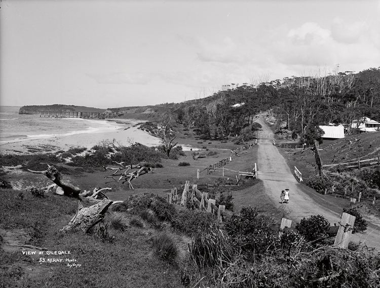
Coledale is a small sea-side village approximately 18 kilometres north of Wollongong along the Princes Highway in New South Wales, Australia. It is part of the City of Wollongong and lies between Wombarra and Austinmer.
Contents
Map of Coledale NSW 2515, Australia
Coledale has several shops on the main road as well as a RSL club, public hall, fire station, private hospital and nursing home. Coledale's shops include a newsagent, 2 cafe's, video shop, hair dresser, pizza/fast food takeout and a bottle shop. Coledale also has a small public school with good views of Coledale beach.
Coledale also has a playing field for soccer, cricket and netball: St. James Park is the home ground for the Coledale Waves (formerly known as the Coledale Rosebuds) soccer teams. This was where Kerryn McCann often trained as she lived close by.
Beaches
Coledale has two sandy beaches: Coledale Beach to the north of the village which is patrolled during summer and Sharkey's Beach to the south, a popular surfing spot. In the summer months Coledale Lifesaving Club runs Nippers every 2nd Sunday on Coledale Beach.
Transport
Coledale railway station is located halfway up Cater Street, off Lawrence Hargrave Drive. The station is operated by NSW TrainLink. Coledale station is an historic station and still has rubbish bins, unlike many of the stations on the New South Wales railway network, where the bins have been removed for security reasons.