
Type Rural road Major cities Stanwell Park Major settlements Stanwell Park, Austinmer | Length 18.7 km Via Stanwell Park, Austinmer | |
 | ||
North end Old Princes Highway, Helensburgh South end Bottom of Bulli Pass, Princes Highway, Thirroul | ||
Lawrence hargrave drive ride
Lawrence Hargrave Drive is a scenic coastal road and popular tourist drive connecting the northernmost suburbs of Wollongong, New South Wales, Australia to both Wollongong and Sydney.
Contents
Map of Lawrence Hargrave Dr, New South Wales, Australia
It was originally constructed in the 1870s.
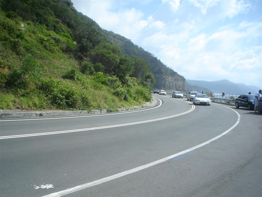
The road begins at the Old Princes Highway, Helensburgh (Princes Motorway exit) and passes through Stanwell Tops to descend the steep Illawarra Escarpment at Bald Hill, the site of a spectacular lookout and hang gliding area. The road then passes south through Stanwell Park and Coalcliff to cross the renowned Sea Cliff Bridge. The Sea Cliff Bridge construction was completed in December 2005, replacing the former cliff-hugging route which was prone to rockfalls and consequent closures. Remnants of the former road can still be seen to this day, including some of the guard rail and most of the road section which is now overgrown with trees and ridden with boulders and rocks that have fallen freely since the roads closure, essentially acting as a ditch. The road then winds its way through the coastal villages of Clifton, Scarborough, Wombarra, Coledale, Austinmer and finally Thirroul where it meets the Princes Highway at the bottom of Bulli Pass.
The road was formerly known as Lower Coast Road until 1947 when it was renamed after Lawrence Hargrave, an Australian aviation pioneer and explorer who had a house at Stanwell Park and flew his devices from Bald Hill.