
Highest elevation 116 ft (35.4 m) | ||
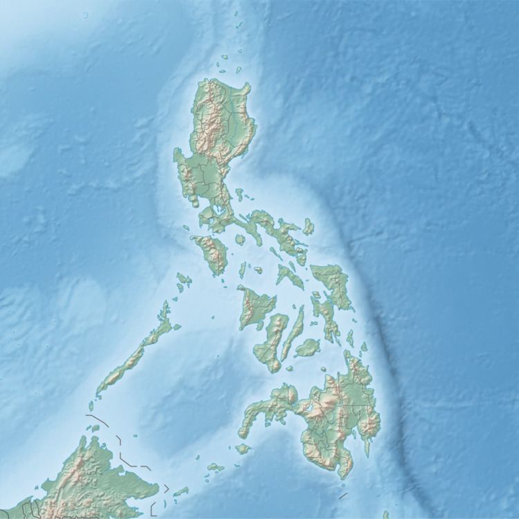 | ||
Colebra (variously Bago-alas or Culebra Islet) is an island in northeastern Iloilo, Philippines. It is part of the municipality of Concepcion.
Contents
Map of Culebra, Puerto Rico
Location and geography
Colebra Island is east of Panay Island in the Visayan Sea. Part of the Concepcion Islands, Colebra is the northernmost point of Concepcion, and only 3.2 kilometres (2 mi) south of Magalumbi Island, which is part of Batad.
References
Colebra Island Wikipedia(Text) CC BY-SA