Population 75 (Mid-2010 pop est) Civil parish Cold Brayfield Local time Wednesday 3:19 PM | OS grid reference SP929523 Unitary authority Dialling code 01234 | |
 | ||
Weather 13°C, Wind W at 18 km/h, 68% Humidity | ||
Cold Brayfield is a village and civil parish in the Borough of Milton Keynes, Buckinghamshire, England. It is about three miles east of Olney, on the Bedfordshire border. Nearby places are Lavendon and Turvey (over the bridge on the Bedfordshire side of the River Great Ouse). At the 2011 Census the population of the village was included in the civil parish of Newton Blossomville.
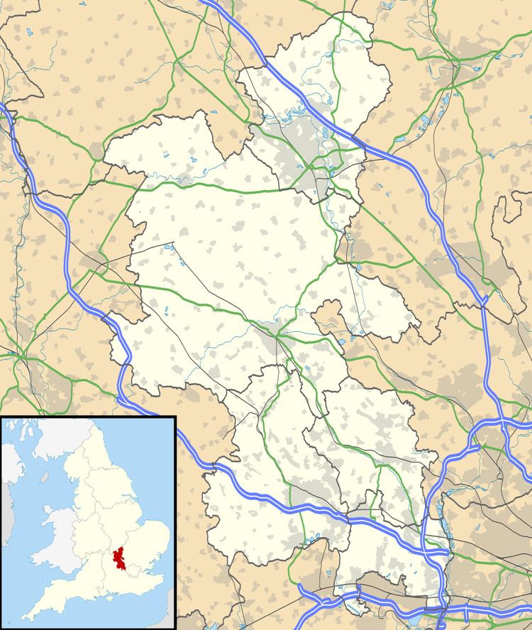
Map of Cold Brayfield, Olney, UK
Cold Brayfield is probably the place named as 'Bragenfelda' in a charter of 967. The elements of the name, 'brain' and 'field' are interpreted to mean 'open country on the crown of a hill'. The village name is later recorded in twelfth- and thirteenth-century charters as 'Brauefeld', 'Brawefeld' or 'Brauufeld', and becomes 'Cold Brayfield' towards the end of the sixteenth century. The prefix 'Cold' is believed to refer to the village's bleak location on the banks of the River Great Ouse, however there is no known record for this.
The Church of England parish church is dedicated to St Mary.
