
Country Canada Elevation 100 m (300 ft) Postal code B0N 2J0 Population 1,373 (2016) Municipality Colchester County | Incorporated August 30, 1906 Time zone AST (UTC−4) Area code(s) 902 Local time Monday 8:29 PM | |
 | ||
Weather -2°C, Wind E at 13 km/h, 88% Humidity | ||
Trans canada highway moncton new brunswick to stewiacke nova scotia
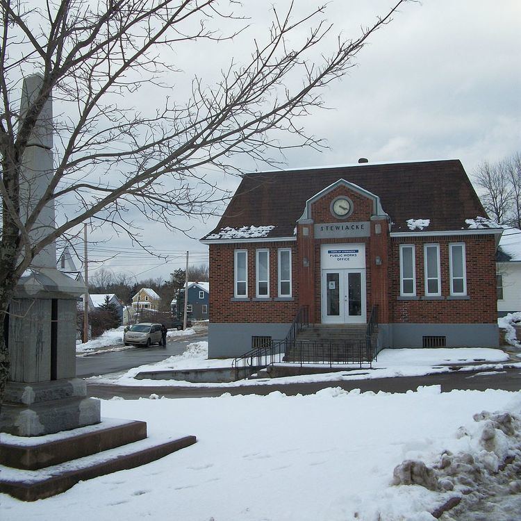
Stewiacke is a town located in southern Colchester County, Nova Scotia, Canada. The town was incorporated on August 30, 1906.
Contents
- Trans canada highway moncton new brunswick to stewiacke nova scotia
- Map of Stewiacke NS Canada
- Welcome to the town of stewiacke nova scotia
- History
- Demographics
- Parks
- References
Map of Stewiacke, NS, Canada
Welcome to the town of stewiacke nova scotia
History
Stewiacke was named in the language of the local Mi'kmaq First Nations and is a word meaning "flowing out in small streams" and "winding river" or "whimpering or whining as it goes". During the French and Indian War, the British built Fort Ellis is the area to protect New England Planters from Mi'kmaq raids.
In the late 1990s, a tourism attraction named Mastodon Ridge opened near the town's highway exit, based on a local discovery of a mastodon skeleton. The Mastodon Ridge Complex features a craft store, toy store, a mini golf and interpretive centre which displays several of the mastodon's bones.
Stewiacke is home to two bars, a pharmacy, a grocery store, a pizza store, numerous fast food restaurants, two gas stations, a hardware store, an audio-visual production company, an 18-hole golf course and a newly built elementary school that consolidates 2 former local schools.
Stewiacke is also home to a volunteer fire brigade that was the first department in North America to use specialized foam as a fire suppression agent. Alongside other achievements involving the implementation of certain fire apparatus.
The town is noted as being located halfway between the North Pole and the Equator (Actually in Alton, Nova Scotia). Controversy in the past over this claim stems from the fact that the Earth is not a perfect sphere, and therefore the halfway mark lies approximately 16 km North of the 45th parallel.
The town's most notorious event occurred on Friday April 12, 2001, when a local teenager, at home on a school in-service day, tampered with a railway switch on the CN Rail Halifax-Montreal mainline, causing Via Rail Canada's Ocean to derail several minutes later when it passed through the centre of the community. Several buildings and rail cars were destroyed and many people were injured, including some severely, although no fatalities resulted.
The town is located in the Stewiacke Valley at the confluence of the Stewiacke and Shubenacadie River and is a service and support centre for local agricultural communities as well as a service exit on Highway 102.
Demographics
In the 2016 Census of Population conducted by Statistics Canada, the Town of Stewiacke recorded a population of 1,373 living in 629 of its 681 total private dwellings, a change of 2999550000000000000♠−4.5% from its 2011 population of 1,438. With a land area of 17.62 km2 (6.80 sq mi), it had a population density of 77.9/km2 (201.8/sq mi) in 2016.