
Elevation 2,950 m | ||
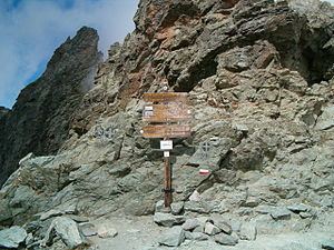 | ||
The Col de la Traversette (Italian: Colle delle Traversette) is a bridle pass with an altitude of 2,947 m in the Cottian Alps. Located between Crissolo and Abriès it represents the border between Italy and France and separates the Monviso (3,841 m) from the Monte Granero (3,171 m). The Blue Trail of the Via Alpina and the Giro di Viso cross the pass.
Contents
- Map of Col de la Traversette 05460 Ristolas France
- Possible site of Hannibals Alpine crossing
- References
Map of Col de la Traversette, 05460 Ristolas, France
The 75 m long Monte Viso Tunnel (French: Tunnel de la Traversette, Italian: Buco di Viso) is a pedestrian tunnel constructed between 1478 and 1480 to bypass the Col.
The Fort de la Redoute Ruinée is a former military installation that controlled the pass.
Possible site of Hannibal's Alpine crossing
In the 1950s, Gavin de Beer was the first to propose the pass as the likely site where Hannibal had crossed the Alps. However, eminent Polybian scholar F. W. Walbank refuted de Beer's theory in 1956. But de Beer's thesis received renewed support in 2016 when geologist William Mahaney et al. reported that sediments had been identified near the pass that had been churned up by "the constant movement of thousands of animals and humans" and dated them to approximately 218 B.C., the time of Hannibal's invasion. However, the Carbon 14 dating method used to process the Mahaney expedition samples had a standard deviation of plus or minus 60 years (see radiocarbon dating), so Mahaney's findings were not definitive despite widespread speculation at the time.