
Traversed by D526 Elevation 1,360 m | ||
 | ||
Similar Alps, Col de la Croix de Fer, Col de Sarenne, Col du Glandon, Oisans | ||
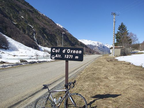
Col d'Ornon (1,360 m (4,462 ft)) is a mountain pass through the Dauphiné Alps in the department of Isère in France which connects the communities of Le Bourg-d'Oisans and La Mure. The climb is used occasionally in the Tour de France cycle race, including on the "Queen stage" on 18 July 2013 which finishes with two ascents to Alpe d'Huez.
Contents
Map of Col d'Ornon, 38740 Chantelouve, France
Details of the climb
From the south, the climb starts at Entraigues, from where the ascent is 14.4 km (8.9 mi) long gaining 563 m (1,847 ft) in height at an average gradient of 3.9%. For the 2013 Tour de France, the climb officially starts at the village of Chantelouve (1,030 m (3,379 ft)) from where the climb to the summit, ranked Category 2, is a further 5.1 km (3.2 mi) at a gradient of 6.7%.
From the north, the climb commences 3 km (2 mi) from Le Bourg-d'Oisans at La Paute in the Romanche valley. The ascent is 11.1 km (6.9 mi) long, climbing 643 m (2,110 ft) at an average gradient of 5.8%.
Tour de France
The Col d'Ornon was first used in the Tour de France in 1966 when the leader over the summit was Luis Otaño. Since then, the Tour has passed the summit on seven occasions, usually as a Second Category climb, including on Stage 18 of the 2013 Tour.