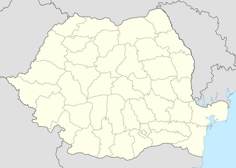
Area 238.2 km² | Time zone EET (UTC+2) Local time Wednesday 1:15 PM | |
 | ||
Component villages Cogealac, Gura Dobrogei, Râmnicu de Jos, Râmnicu de Sus, Tariverde Weather 13°C, Wind NE at 31 km/h, 62% Humidity | ||
Cogealac is a commune in Constanța County, Romania.
Contents
Map of Cogealac 907070, Romania
The commune includes six villages:
The territory of the commune also includes the former village of Colelia (Turkish: Kuleli), at 44°36′10″N 28°24′39″E, disestablished by Presidential Decree in 1977. The former village was populated by Dobrujan Germans until 1942 and it is now the site of the Colilia Monastery.
Demographics
At the 2011 census, Cogealac had 4,466 Romanians (98.89%), 4 Turks (0.09%), 46 others (1.02%).
References
Cogealac Wikipedia(Text) CC BY-SA
